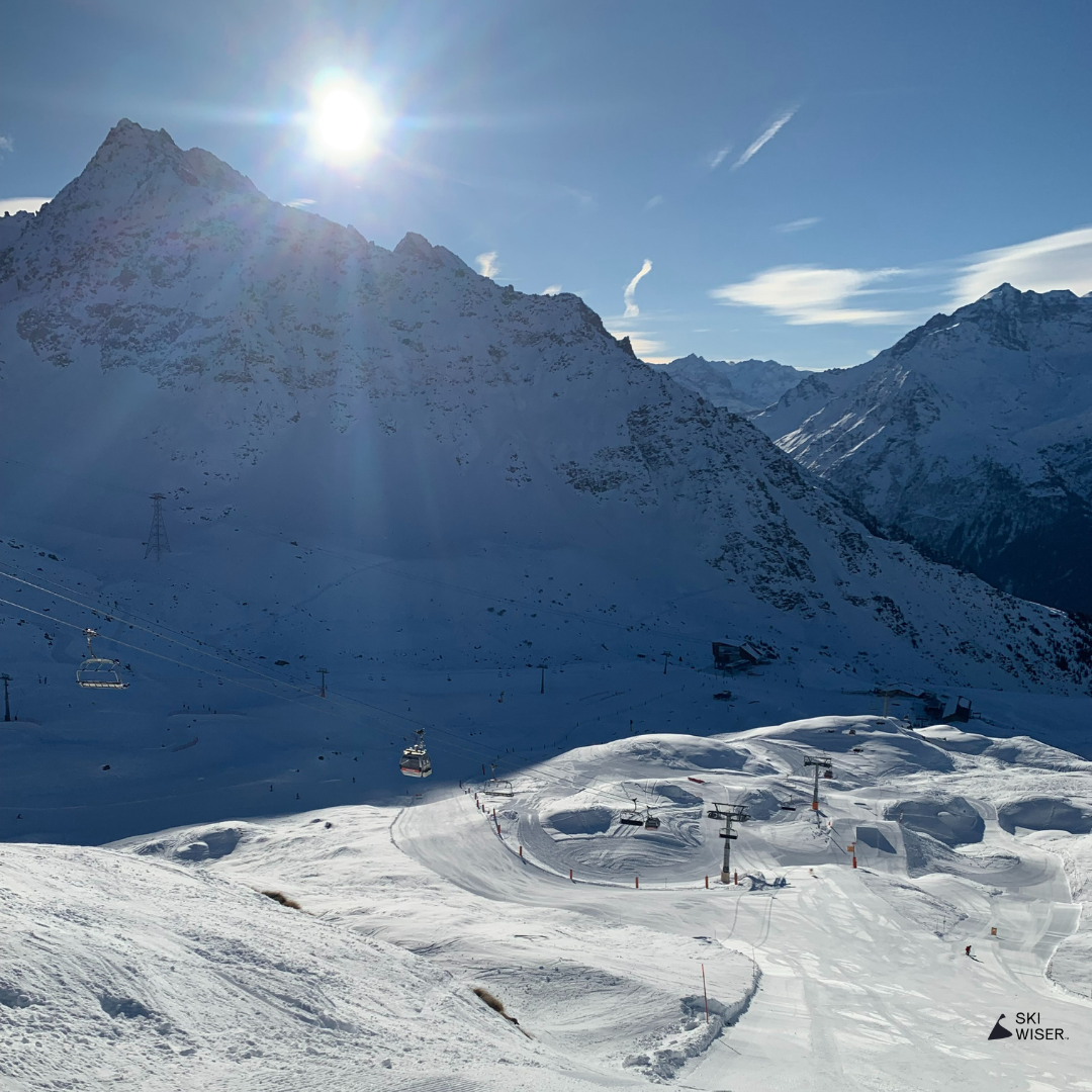
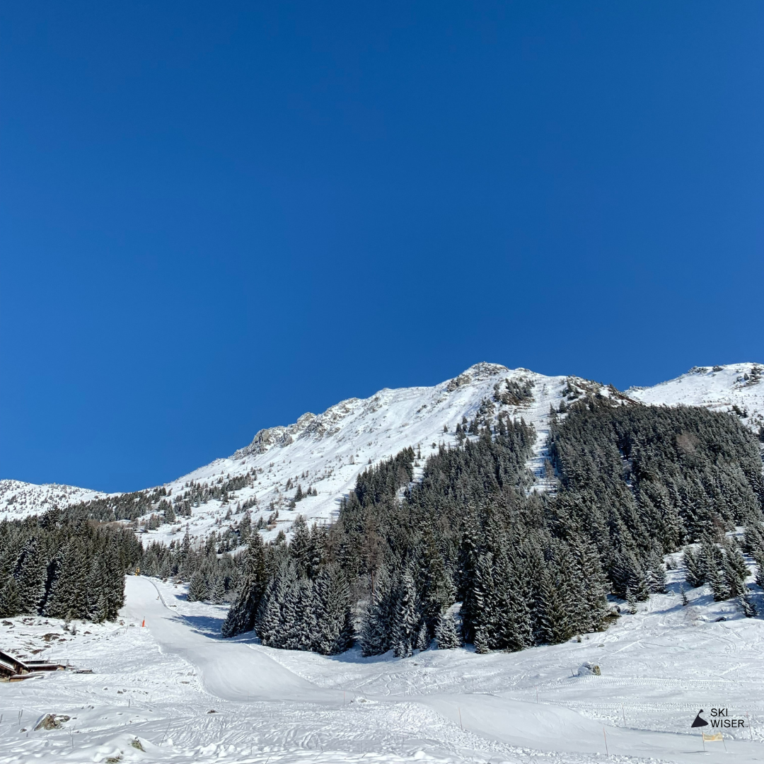
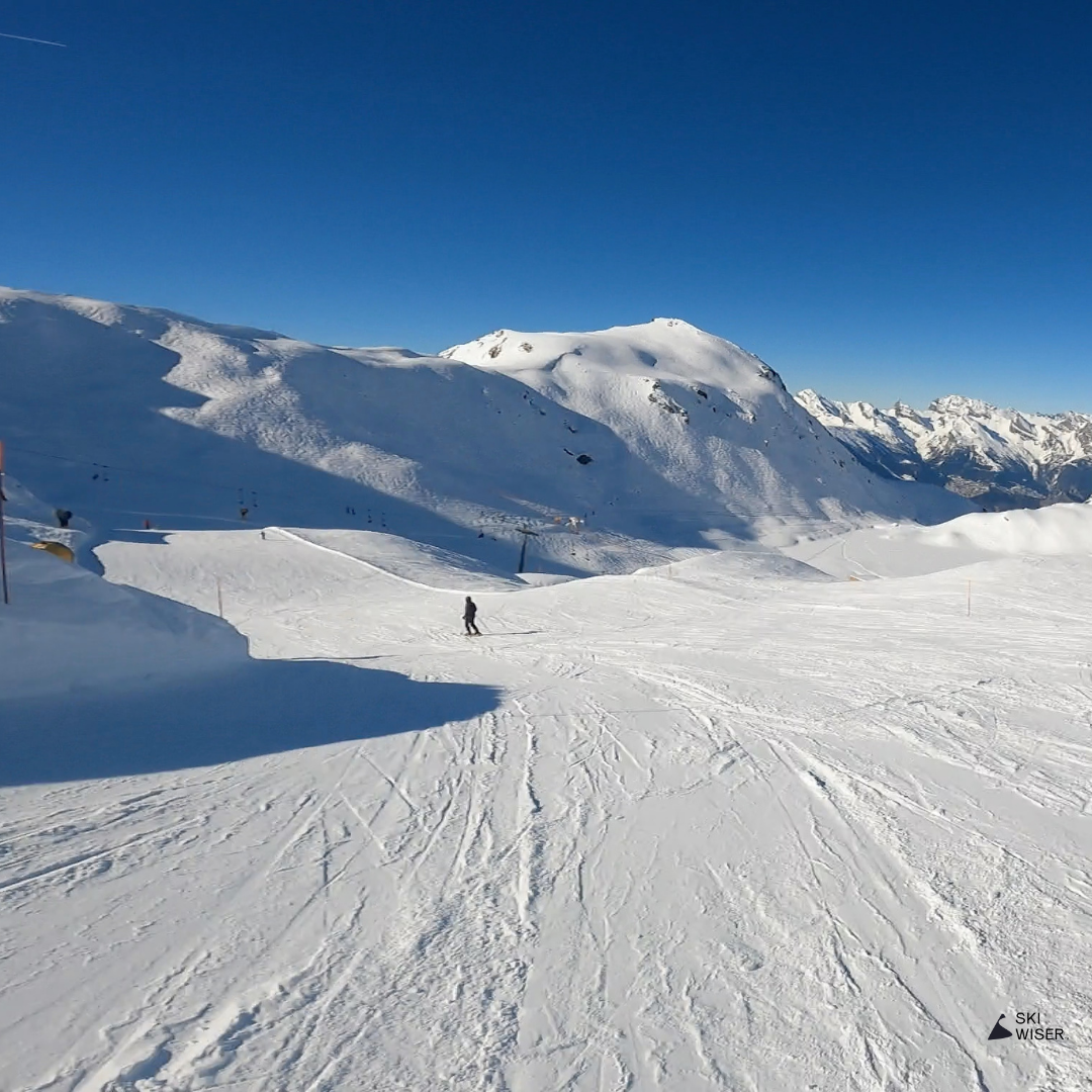
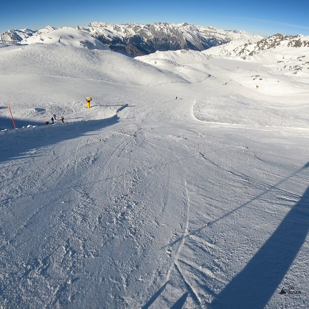
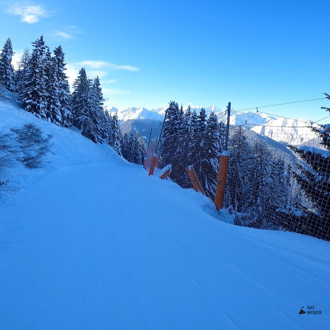
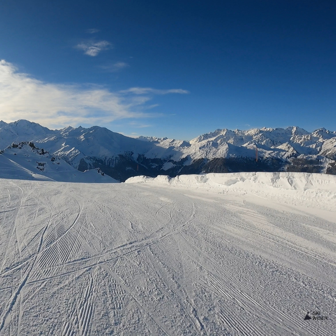
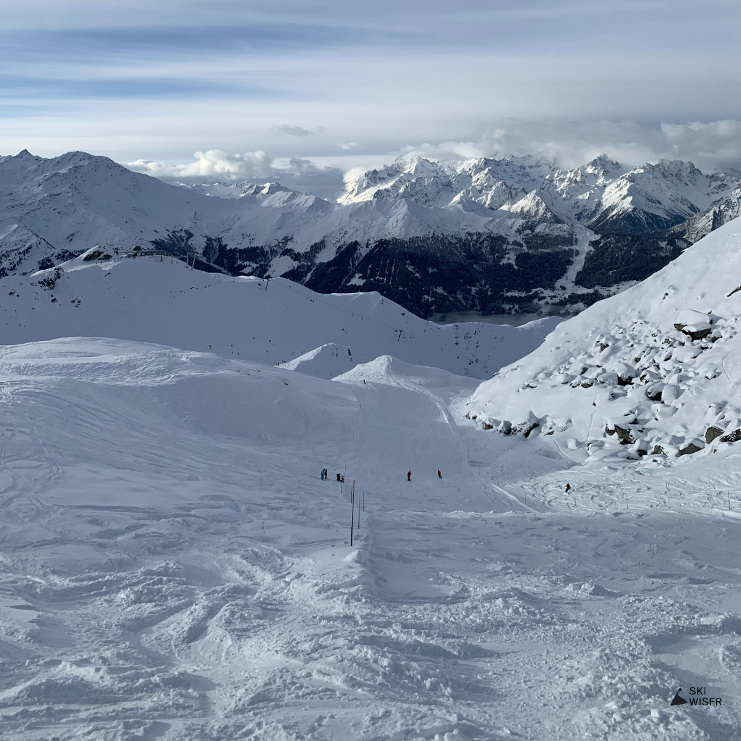
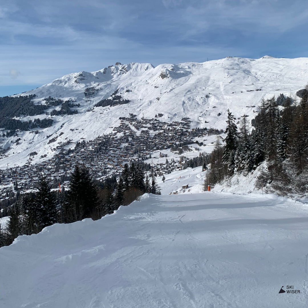
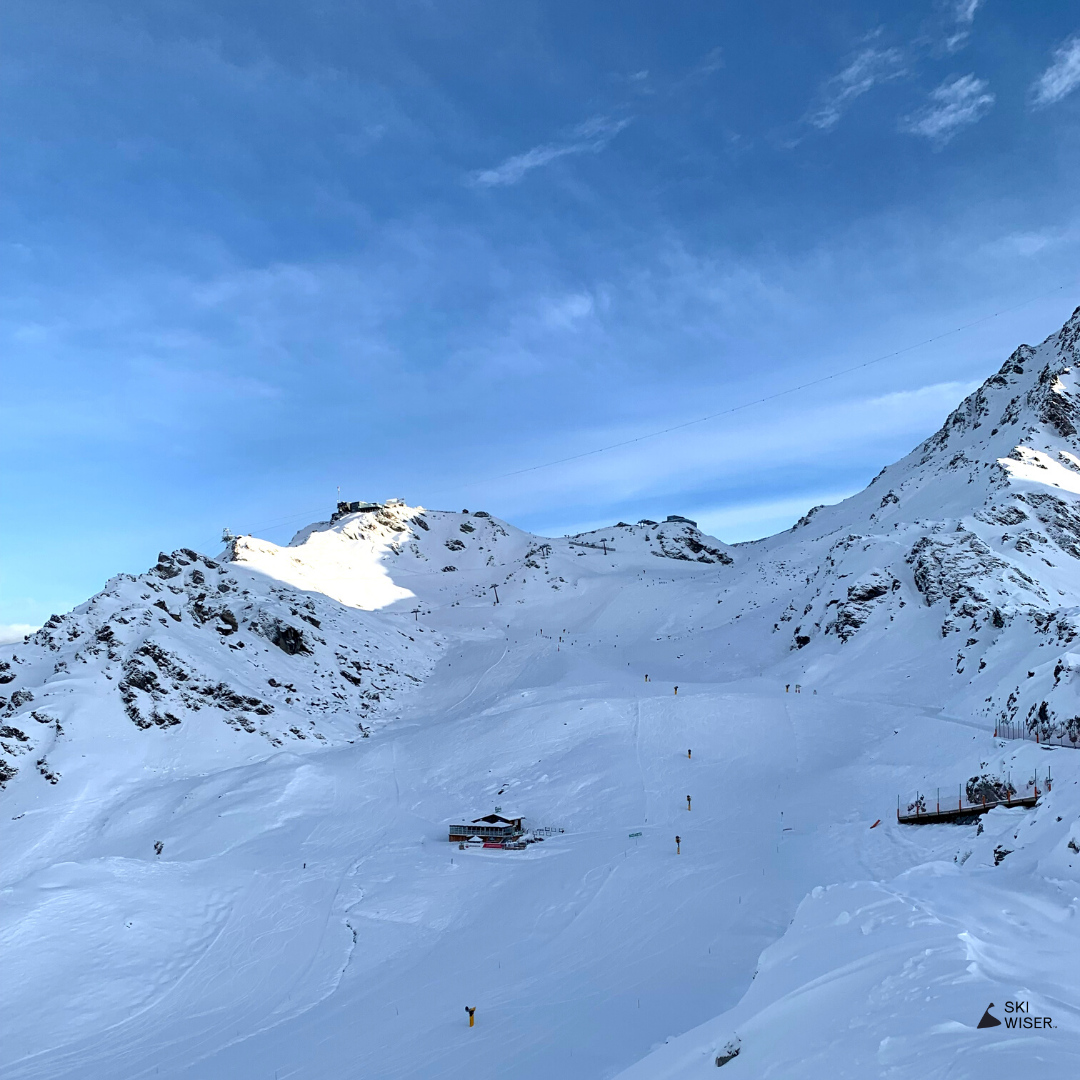
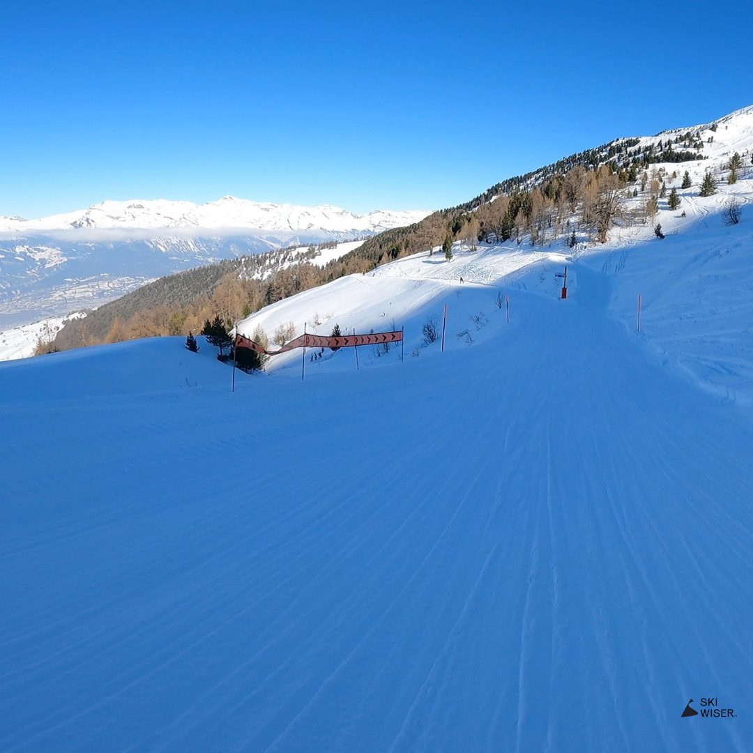
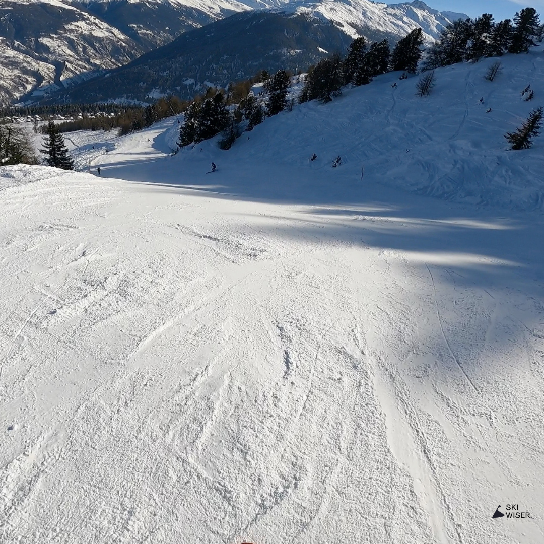
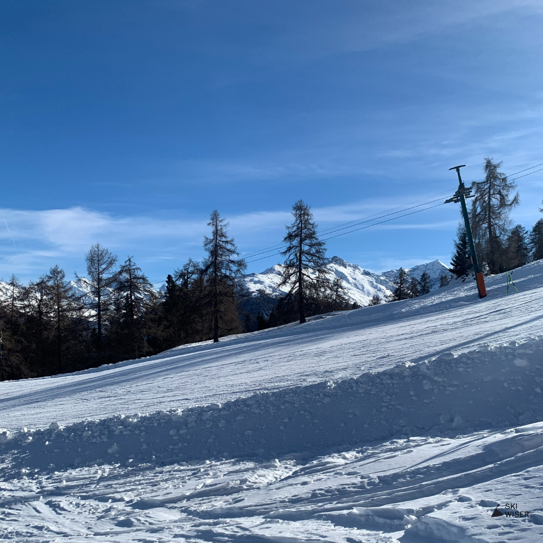
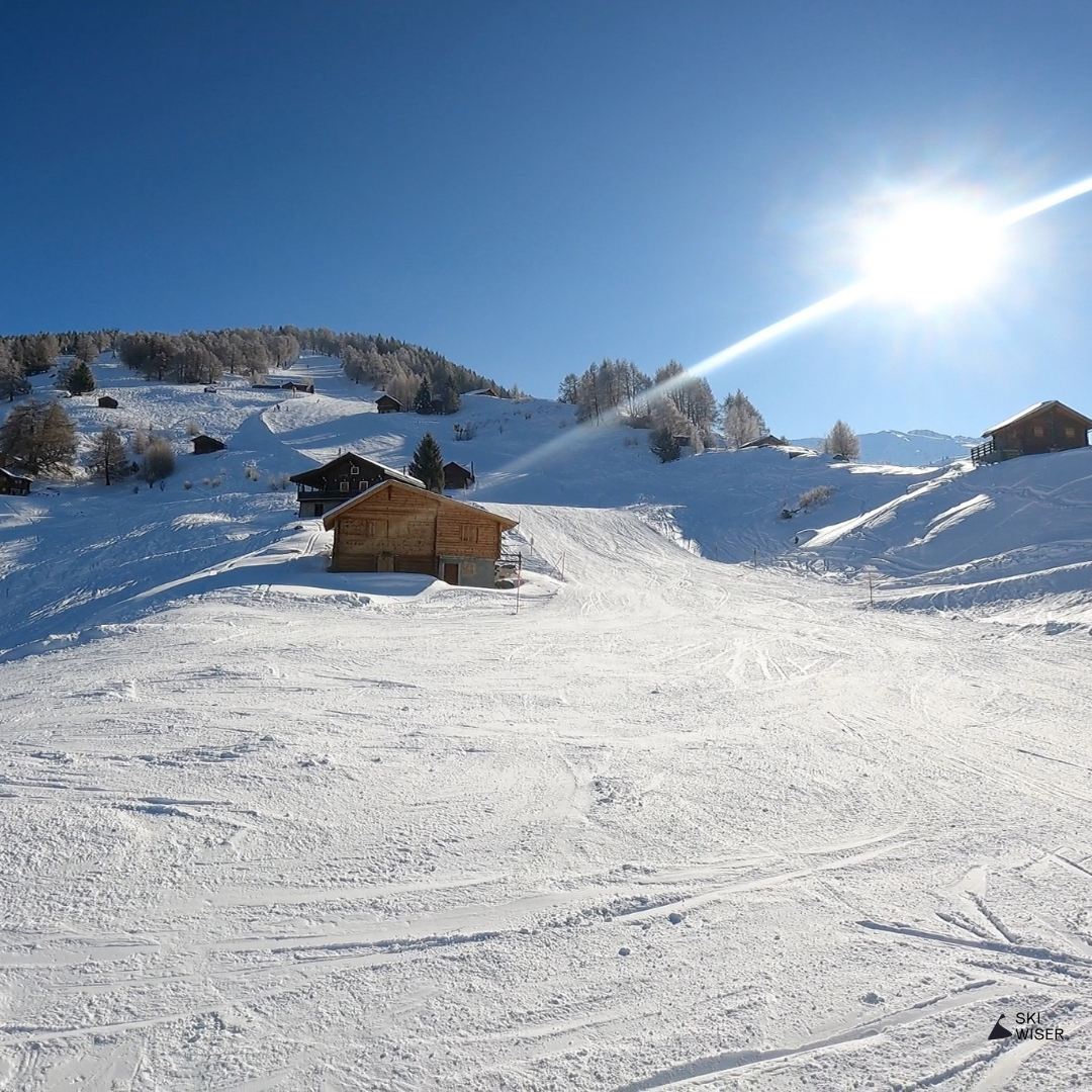
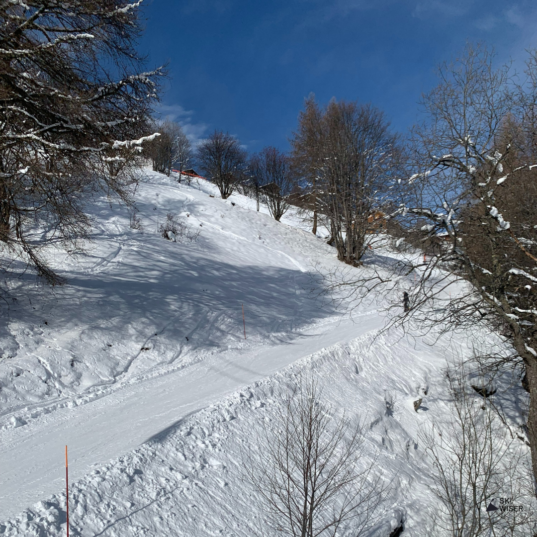
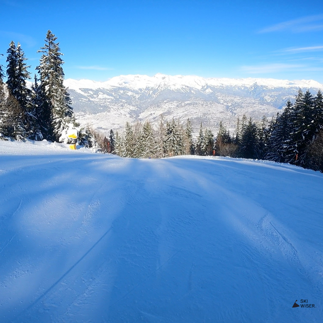
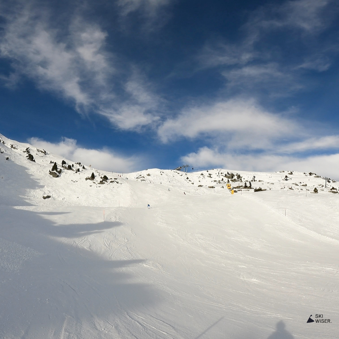
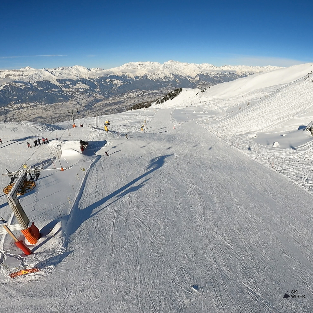
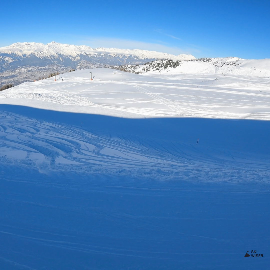
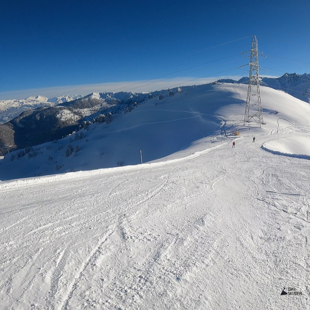
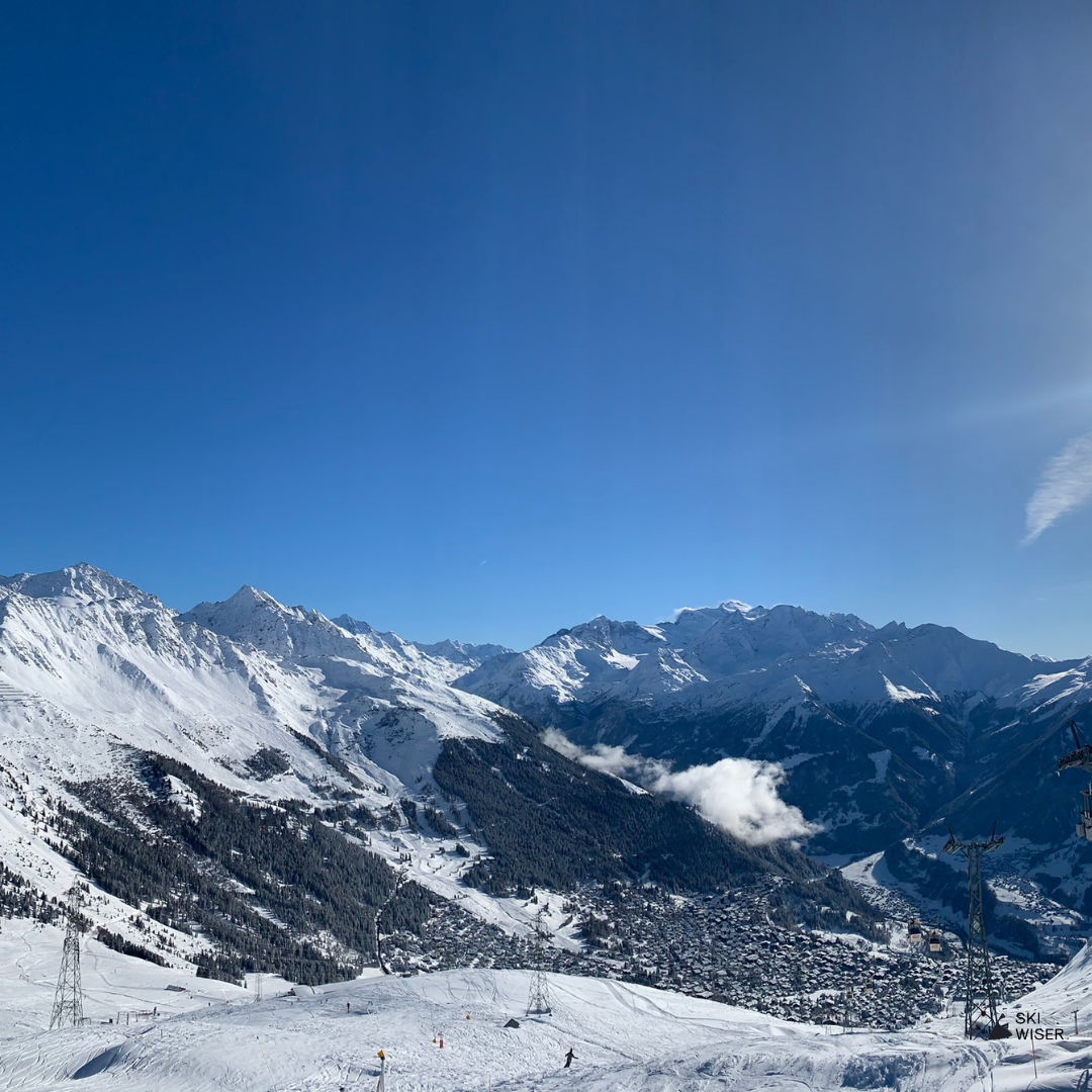
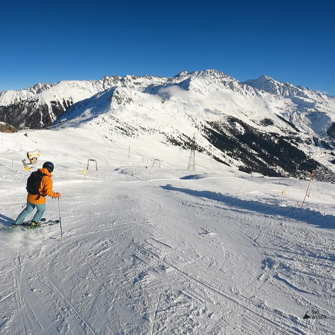
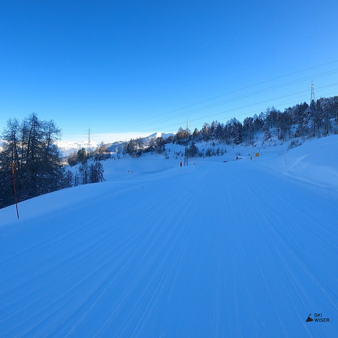
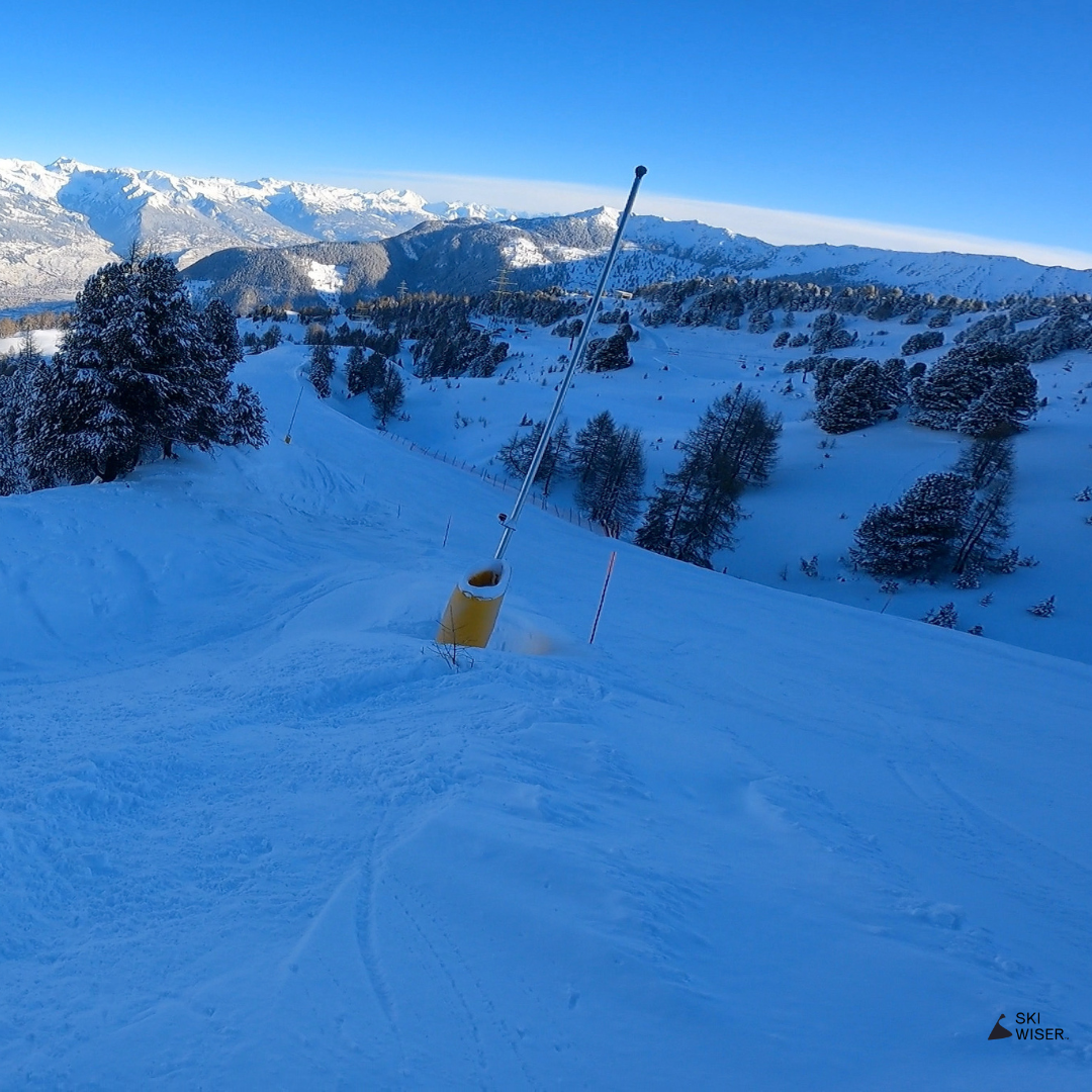
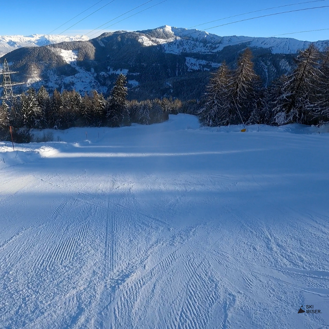
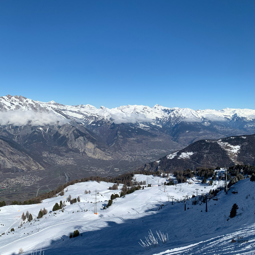
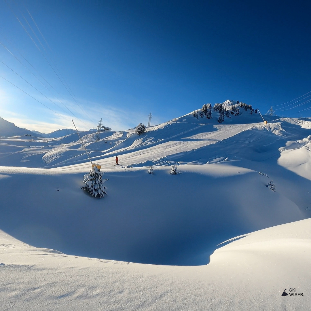
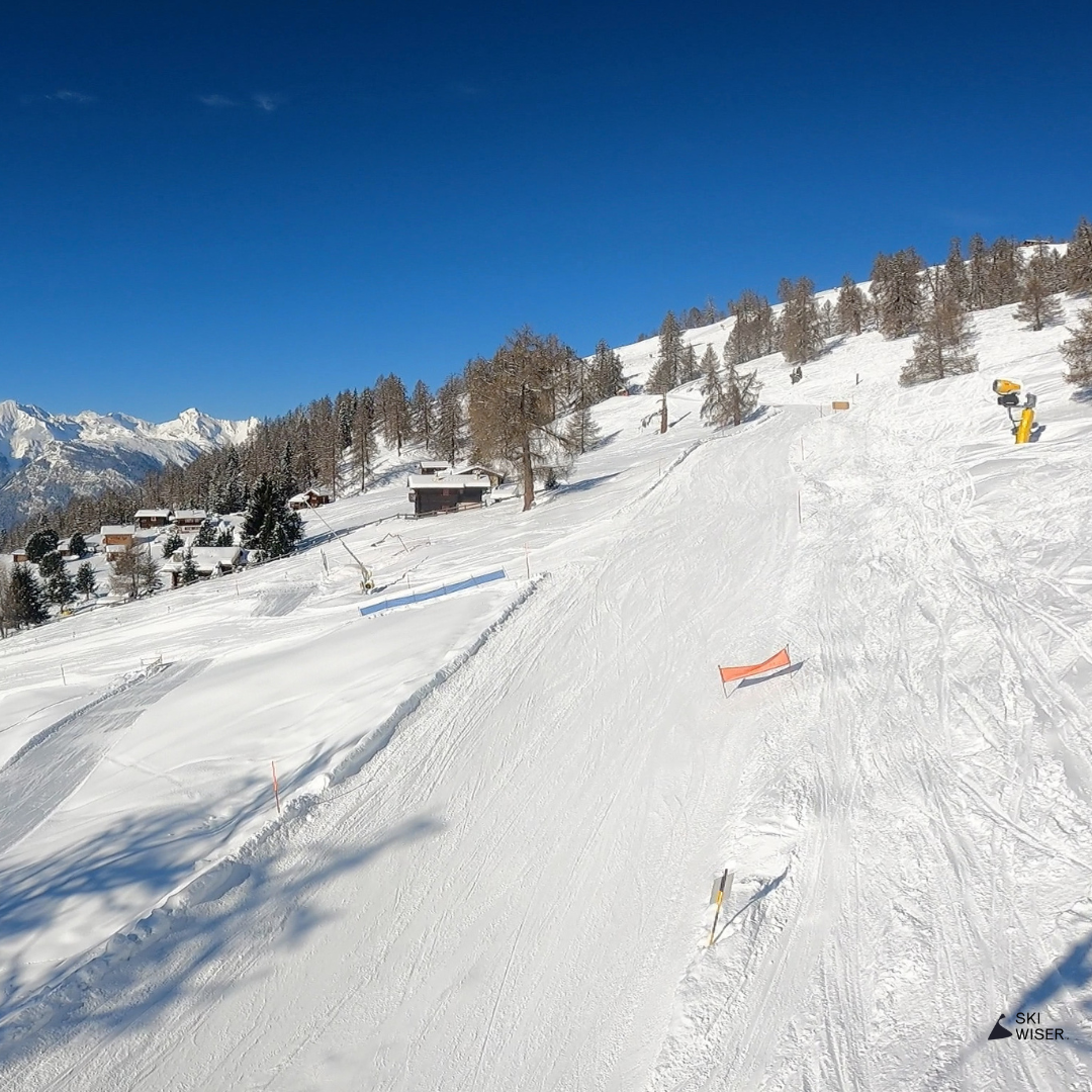
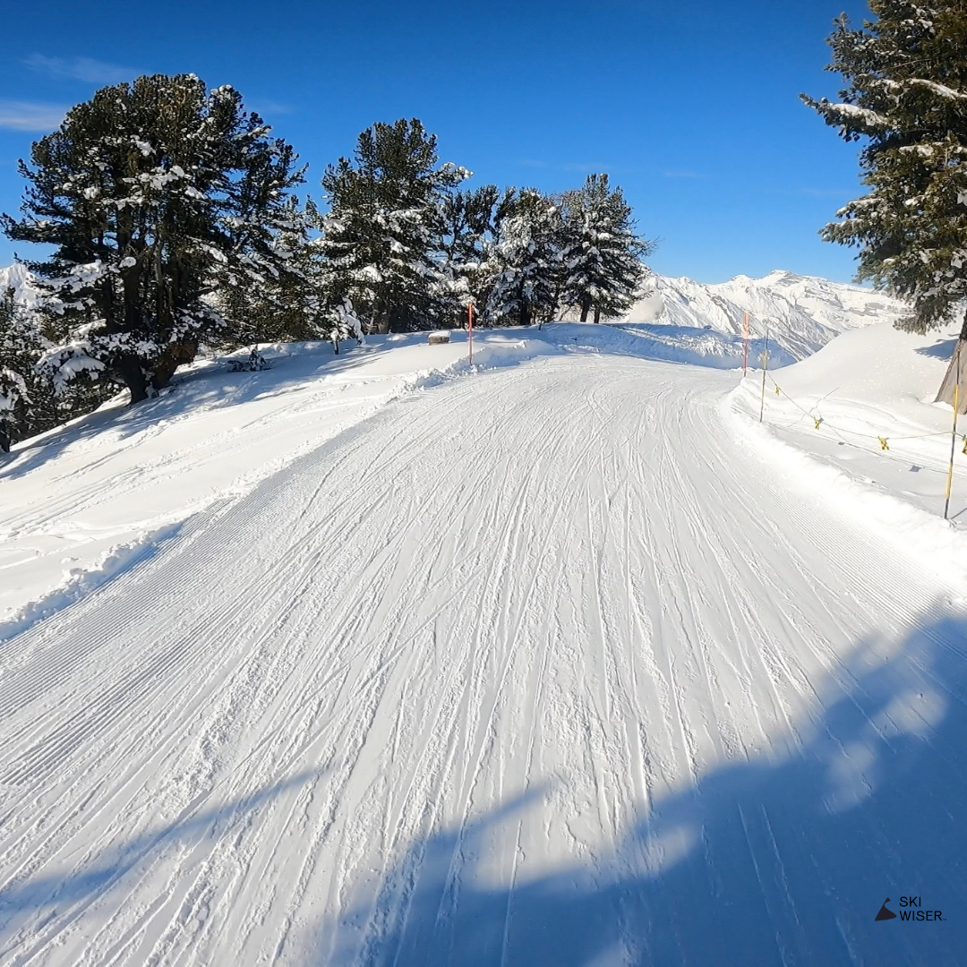
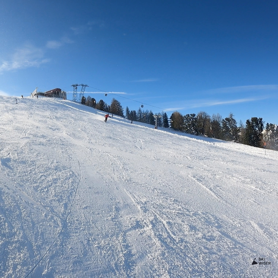
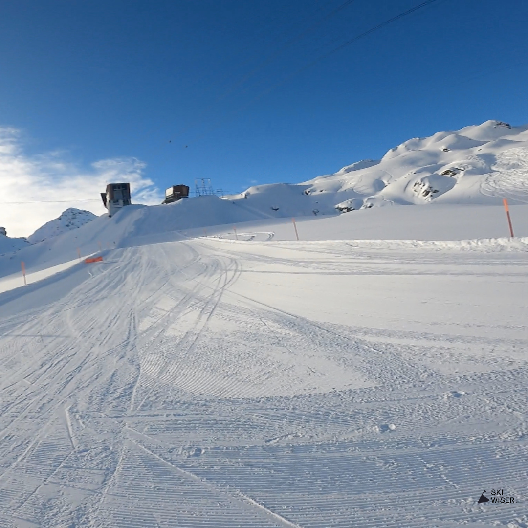
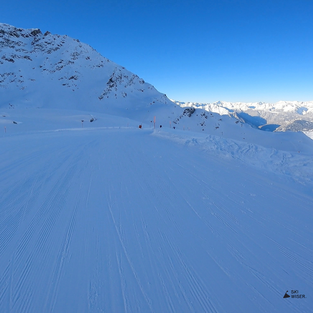
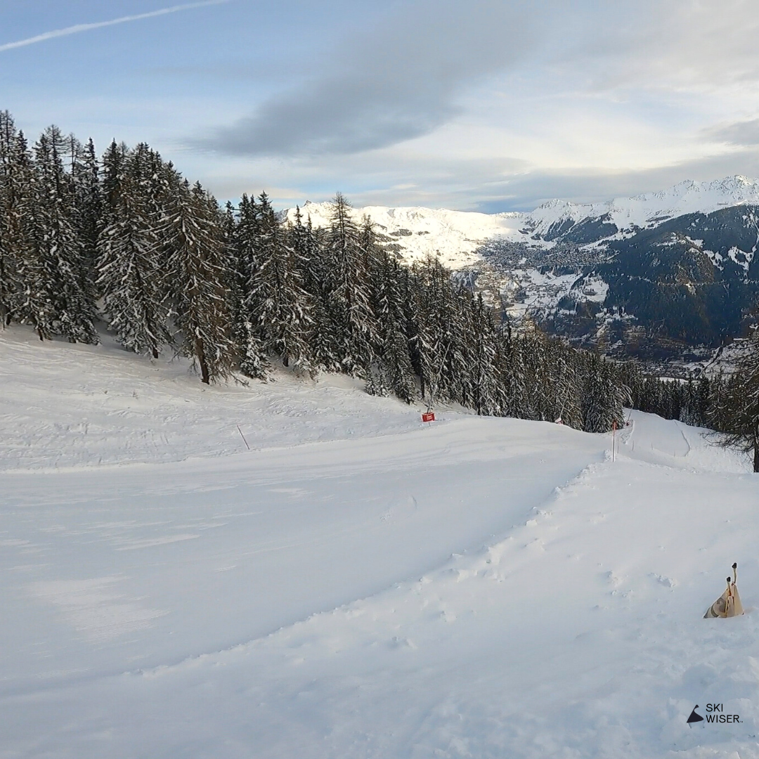
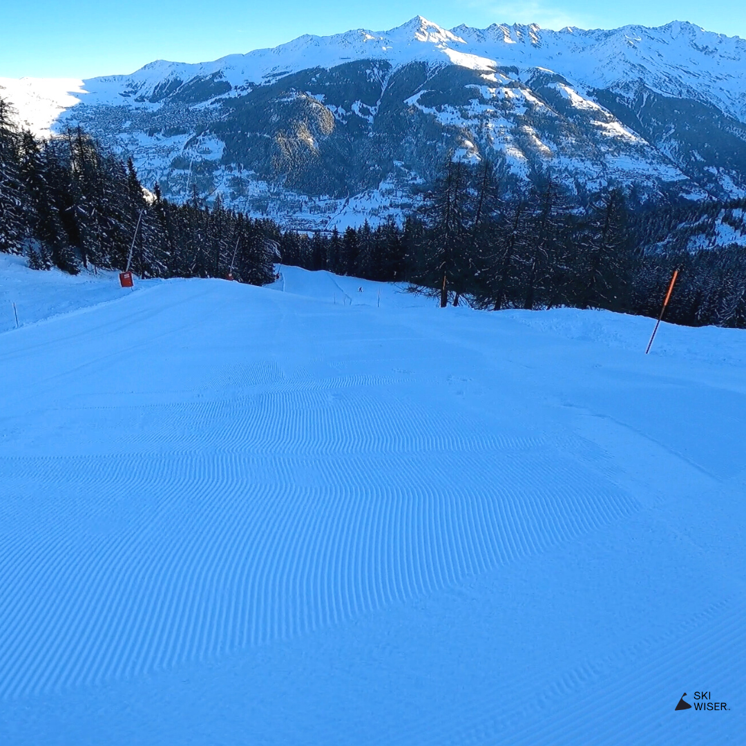
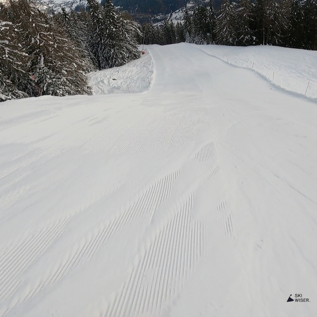
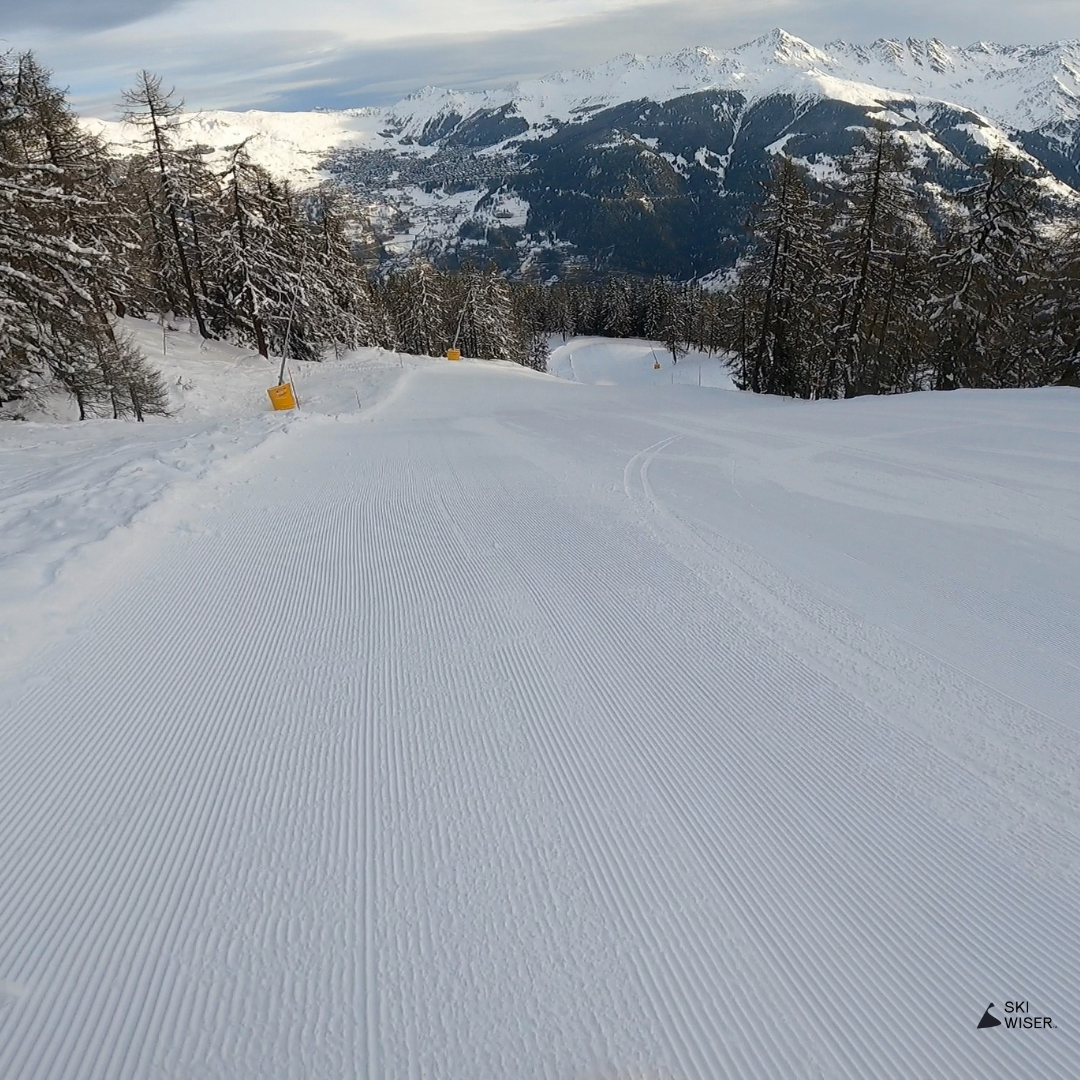
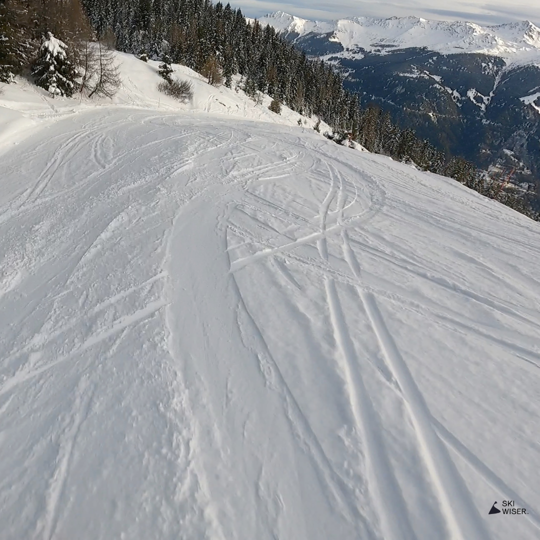
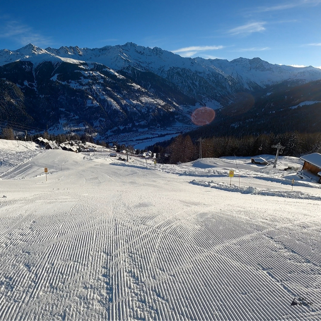
Verbier / Tsarbonné
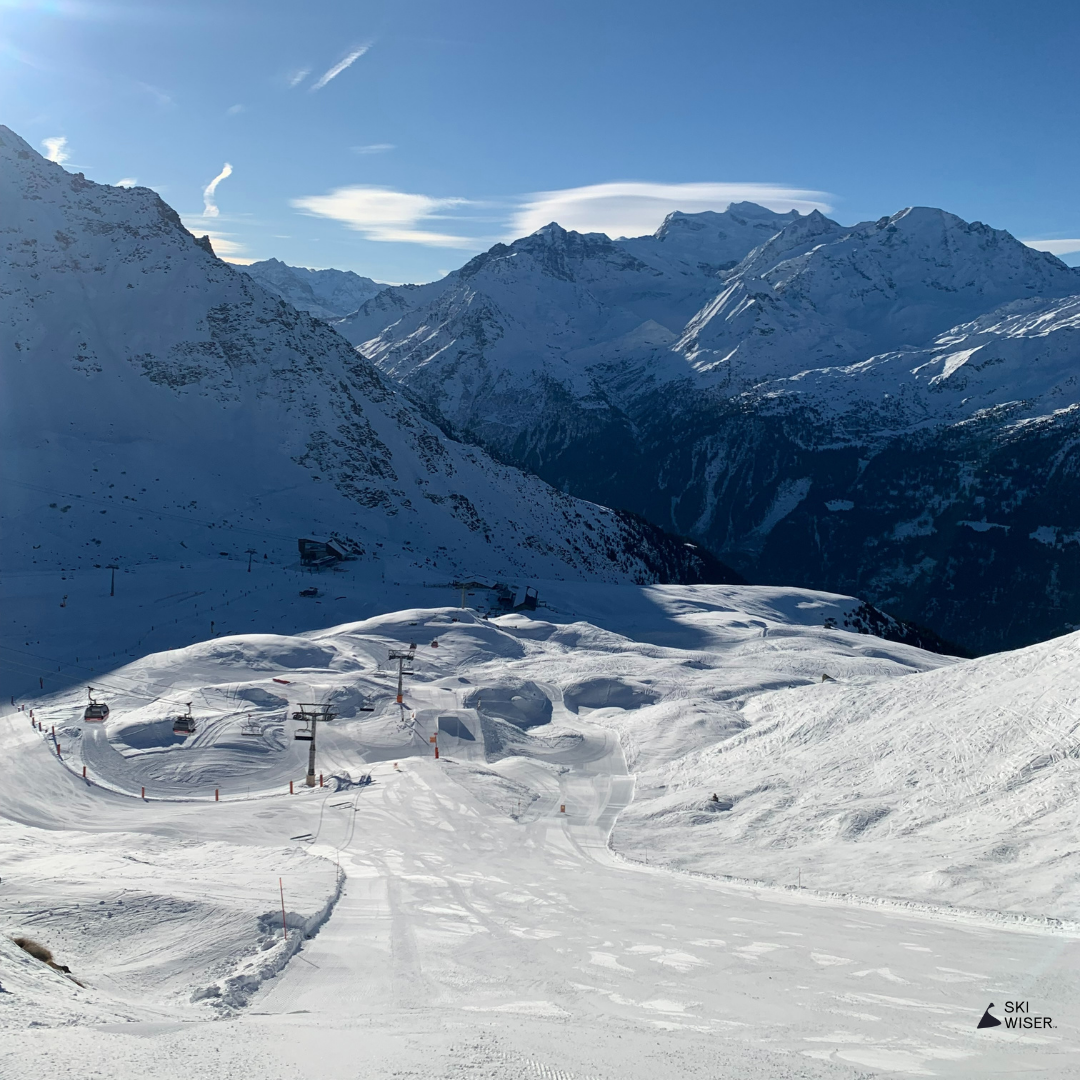
A more interesting red which is often quieter than the red Chaux run as it’s hidden away to the right of the slope as you look down the mountain. Slightly steeper and wider, it’s a better run for getting some decent carving turns in.
Unfortunately it’s a pain to access from the Les Ruinettes side which requires a small traverse around to the left under the lift, but super easy from La Chaux.
Mini Map

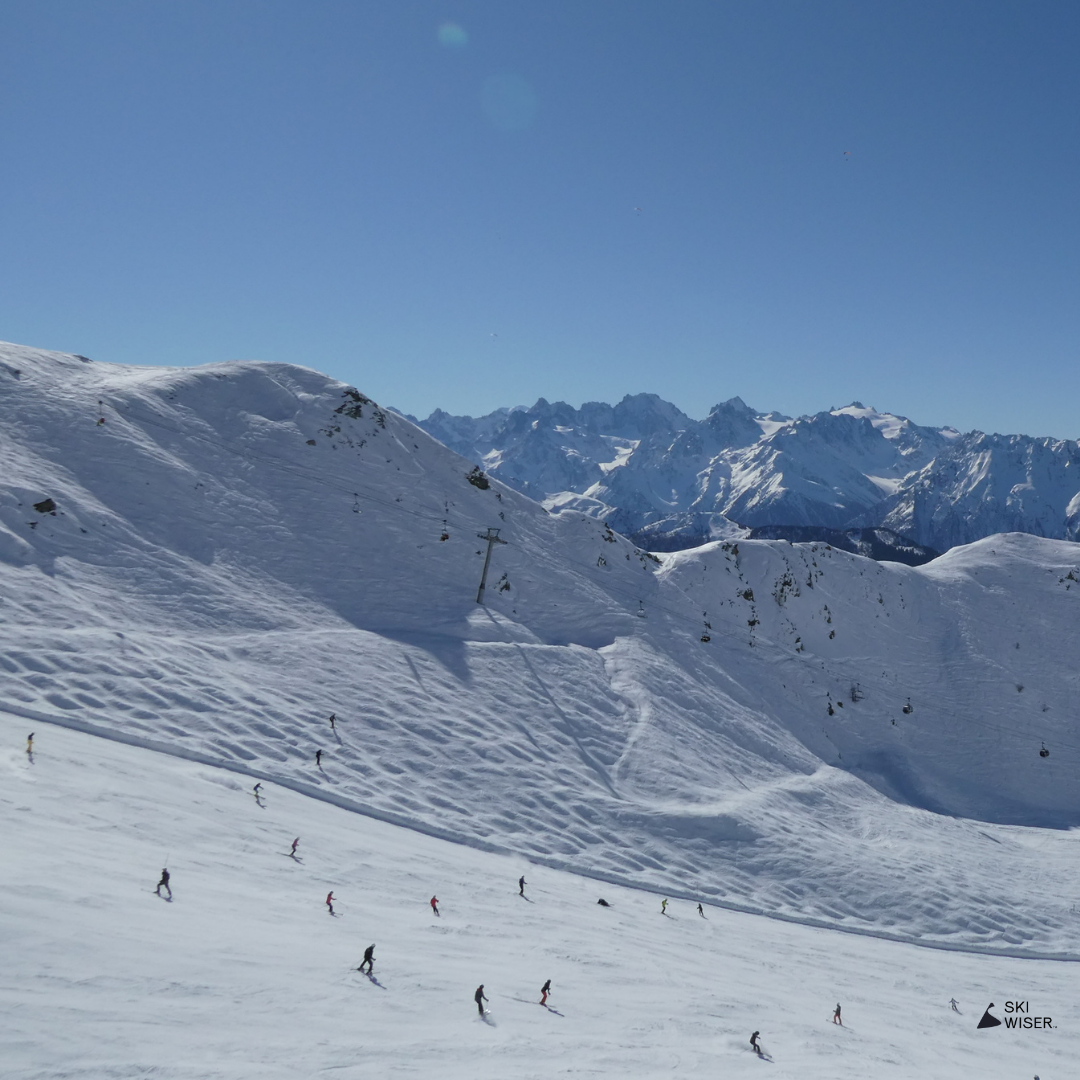
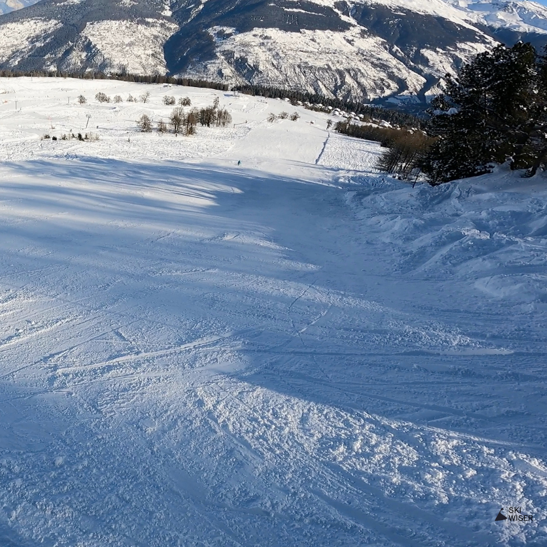
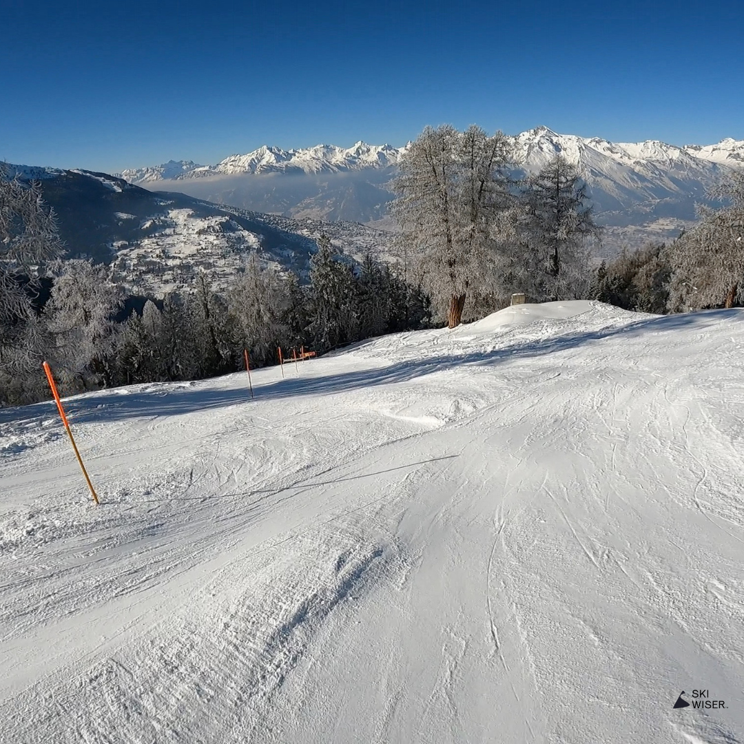
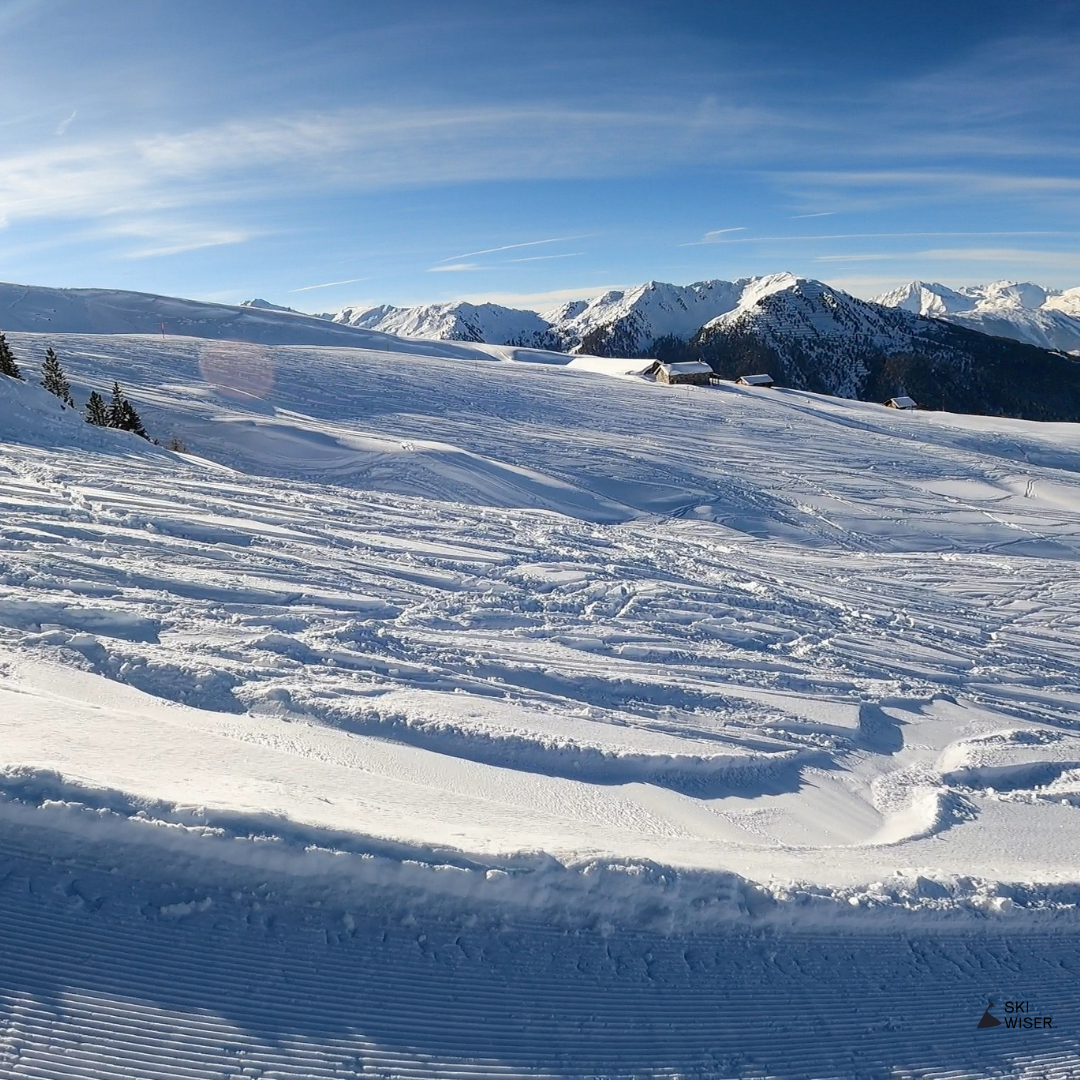
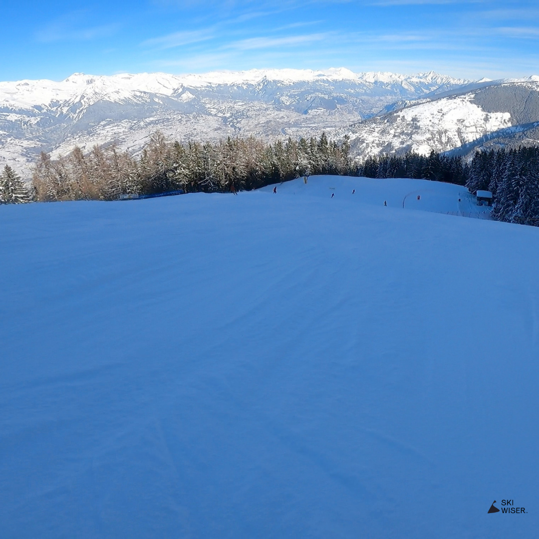
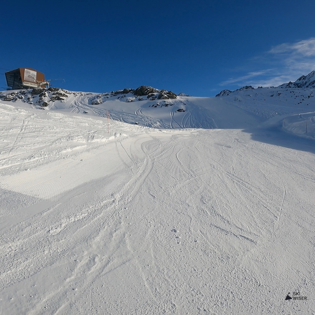
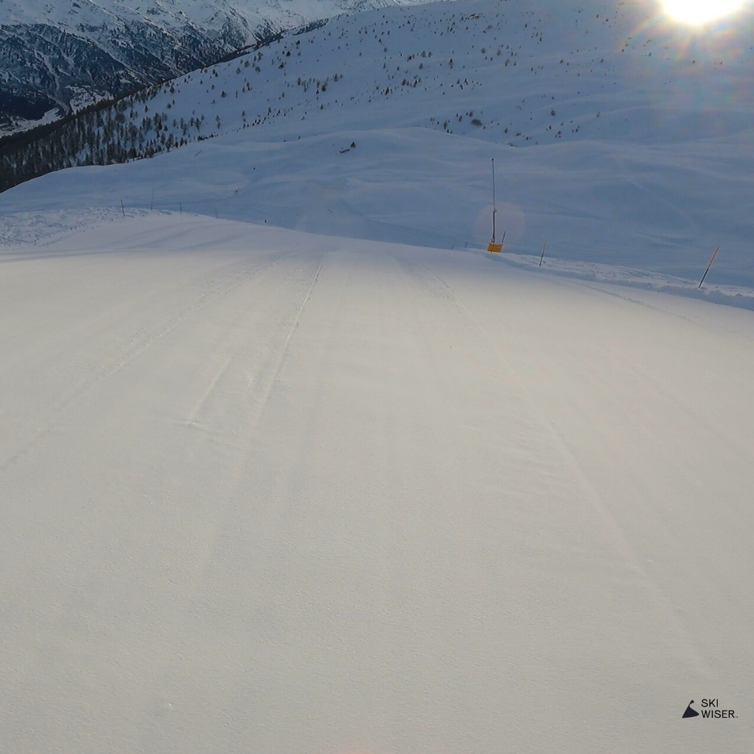
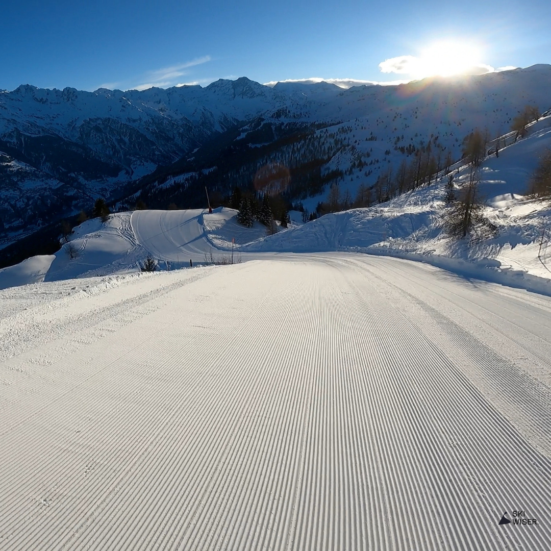
Savoleyres / Planards Esserts
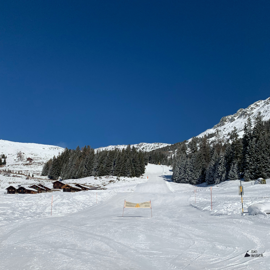
This is a short but fun little red that takes skiers from the south face of Savoleyres down to the road by the Esserts nursery slope. Whilst it’s marked as a red, it is quite steep in places and it’s easy to pick up some speed through the trees.
If you’re trying to get to Carrefour and the main part of Verbier, it’s more practical to ski left on the Planards – Carrefour path, but this is frequently closed. If so, this red is your best option down the mountain. You’ll just need to take the bus up to Carrefour when you reach the road.
Mini Map


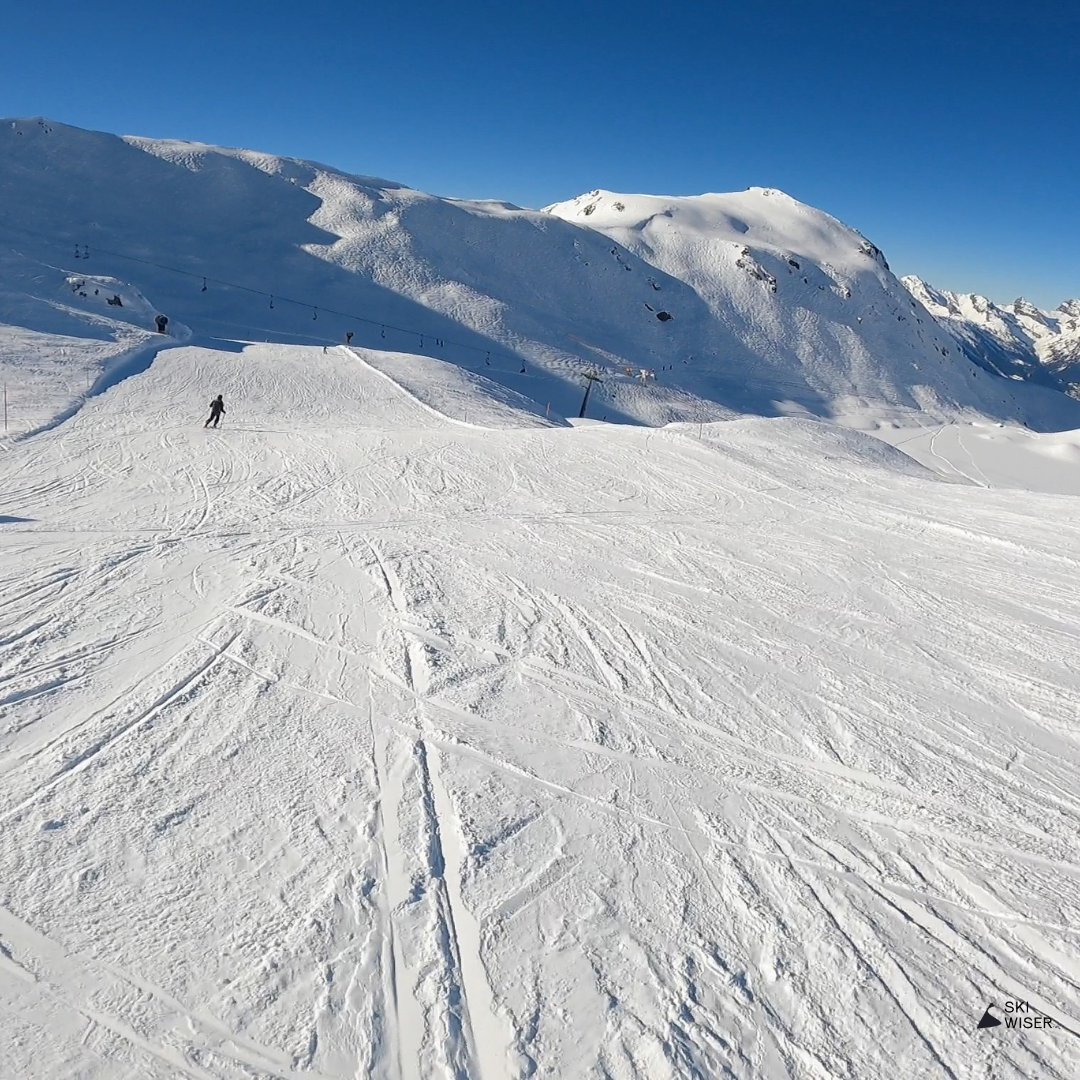
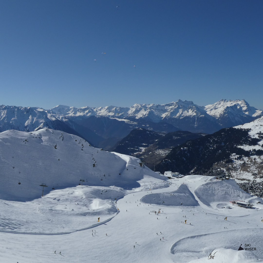
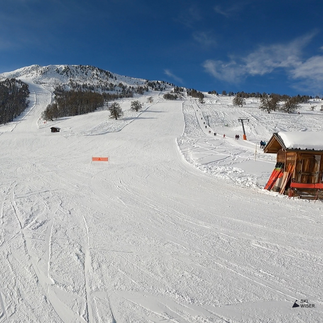
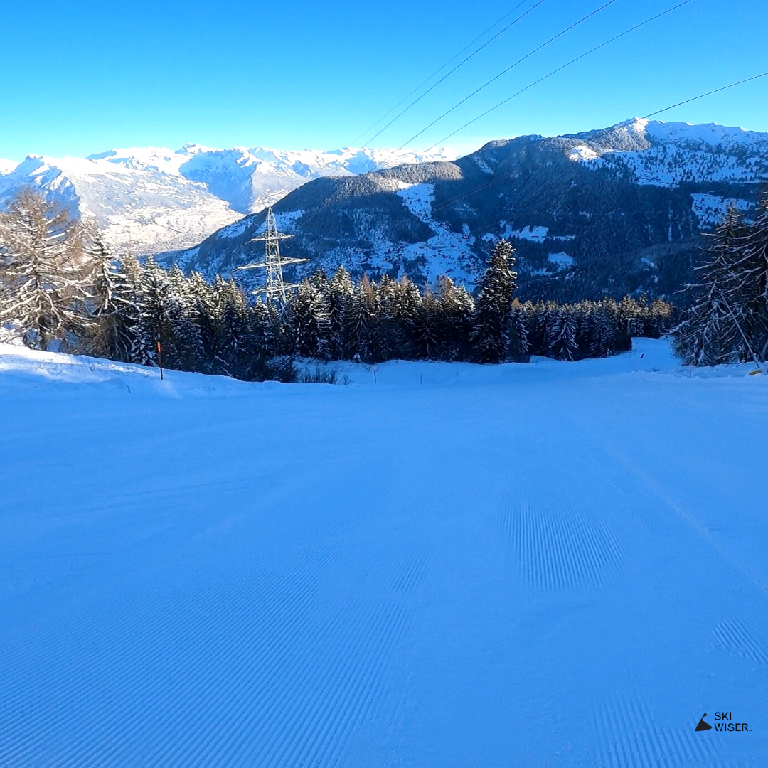
Verbier / Lacs II
A cruisy red run which takes skiers down from the top of Tortin into Lacs des Vaux.
Whilst operating as a necessary connection run, it also provides a nice carving opportunity, as well as powder in the right conditions. Watch out for rocks though and make sure you have all the necessary safety equipment if you do head off the side of the piste!
Mini Map

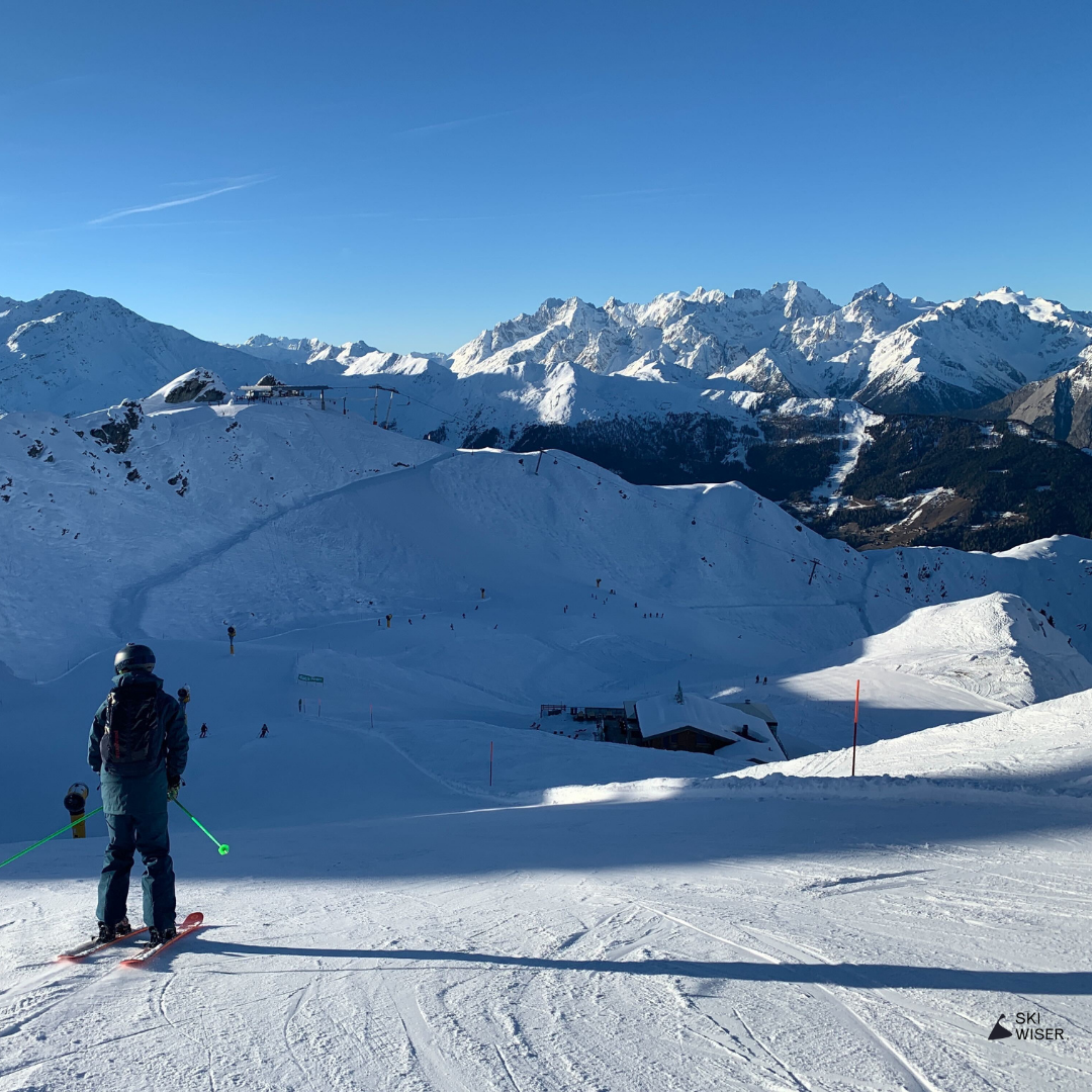
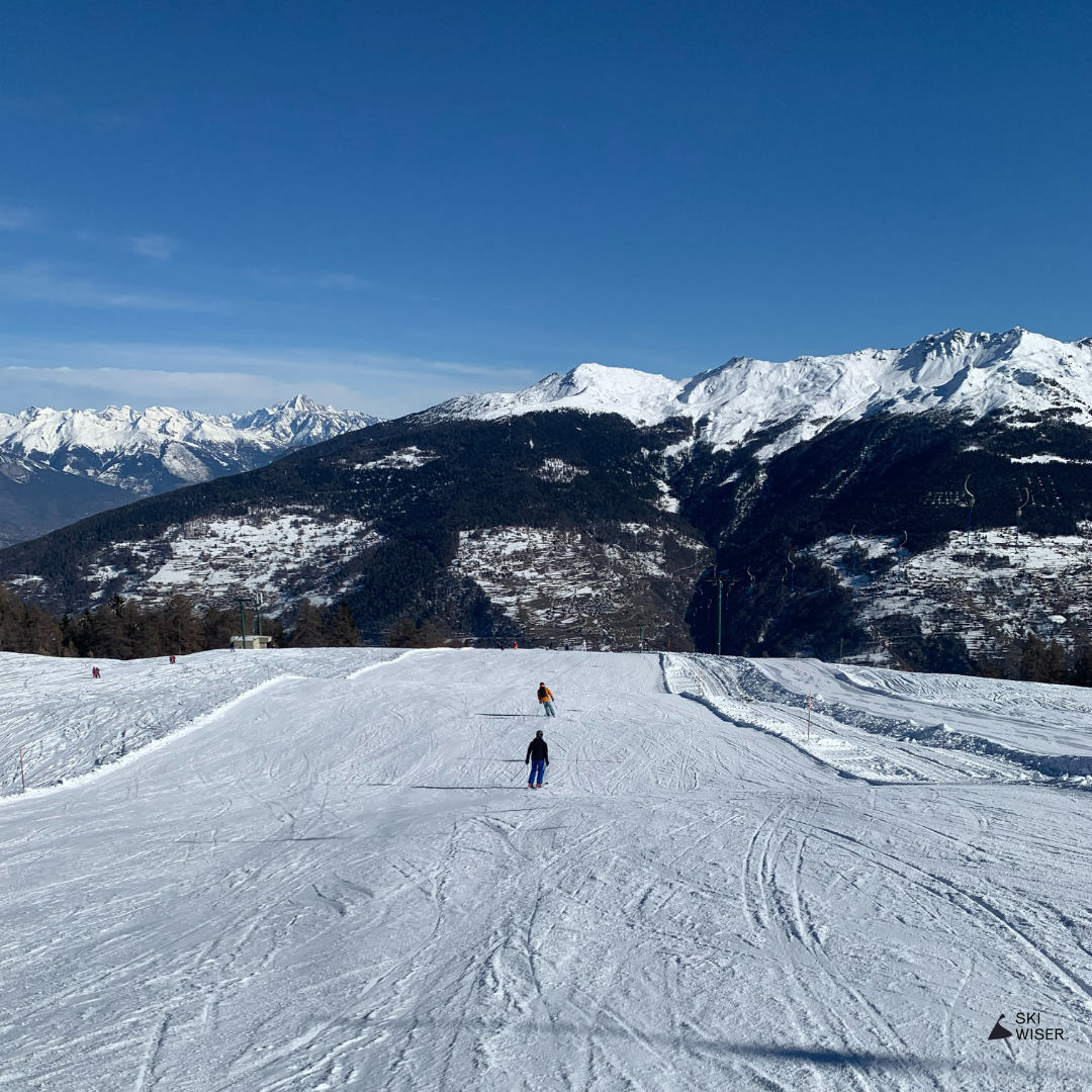
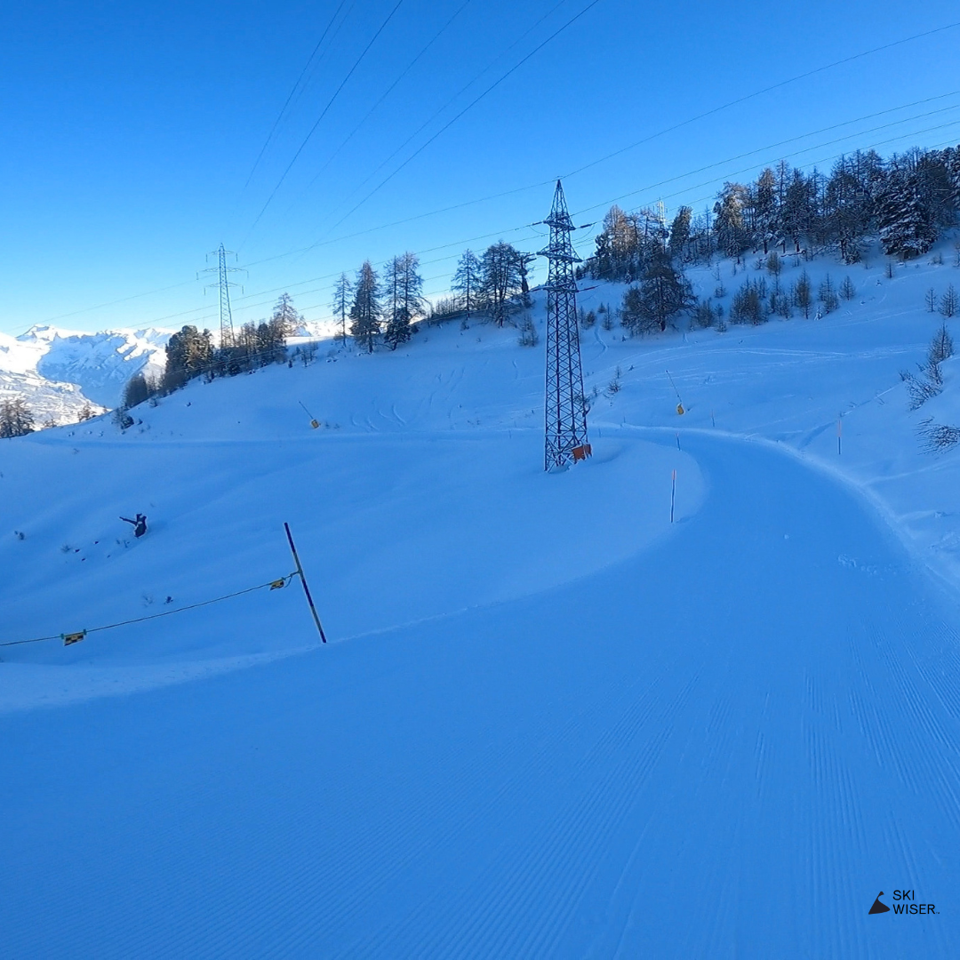
Verbier / Lacs (Red)
The red Lacs des Vaux run is very similar to the blue. It’s high up, keeps good snow and is a good warm up run before more challenging pistes.
The area is also a great powder spot when the snow is fresh. All usual warnings about skiing off-piste apply though. The valley also contains a lot of rocks.
Mini Map
Verbier / Hattey
Hattey combines a steep-ish red at the top with a tree path back to Verbier. Being further across to the right of the slope, it’s normally a bit quieter than Combe. For the more adventurous, it also leads to the Clambin itinerary down to Verbier. A good run to do when the visibility is poor and you need to head home.
Mini Map

Verbier / Fontanet
Most skiers will take Attelas down the mountain back to Verbier, but Fontanet offers a pleasantly quieter alternative.
Turning left at the top of La Chaux express, the red opens up after around 200m and the gradient increases a little to offer up a fantastic carving run. There’s tree cover on the path lower down as well.
Mini Map
Verbier / FIS Supérieure
FIS supérieure sits parallel to Attelas, but can be just as busy in the afternoon. It’s not a very difficult black and when quiet can be a delightful run to get some big carving turns in.
It passes to the right of the Carlsberg restaurant which provides a cheaper lunch alternative to other restaurants on the mountain.
Mini Map
Verbier / FIS Intermédiaire
Like FIS superior, the intermediate FIS is not very hard and offers a quieter section of piste to Attelas in the late afternoon when everyone is heading home. Lower down the piste is wider and can be another cruisy opportunity for wider turns. Just mind the crowds if you decide to let rip.
Mini Map
Verbier / FIS Inférieure
Whilst it’s marked as a black, it’s more like a hard blue. It’s not very wide so it’s a better run for practising shorter turns.
The final section of FIS heads down to Carrefour where you can either take Rouge down to town or hop on the bus. The Carrefour restaurant is one of the best on the mountain and we’d highly recommend giving it a try.
Mini Map

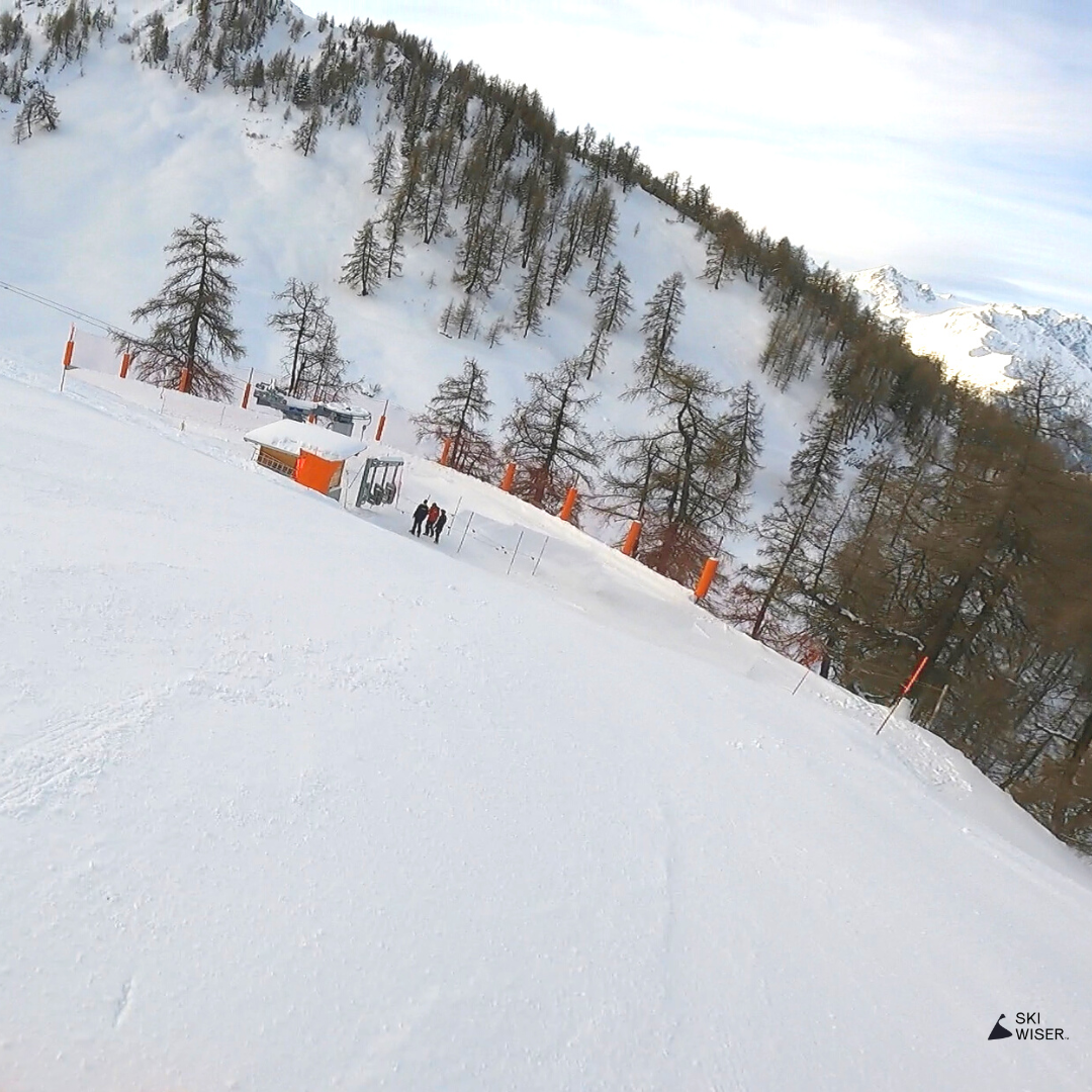
Verbier / Chaux (Red)

The entrance to La Chaux from Fontanet is unhelpfully steep for beginners, but the rest of the run is a pretty flat line down to the bottom. A good warm up run if you’re heading further up to Col des Gentianes and another practice option for beginners. Can get very crowded as it’s a key connection run.
The run also leads to the Snowpark if you fancy getting a pic going over the jumps.
Mini Map
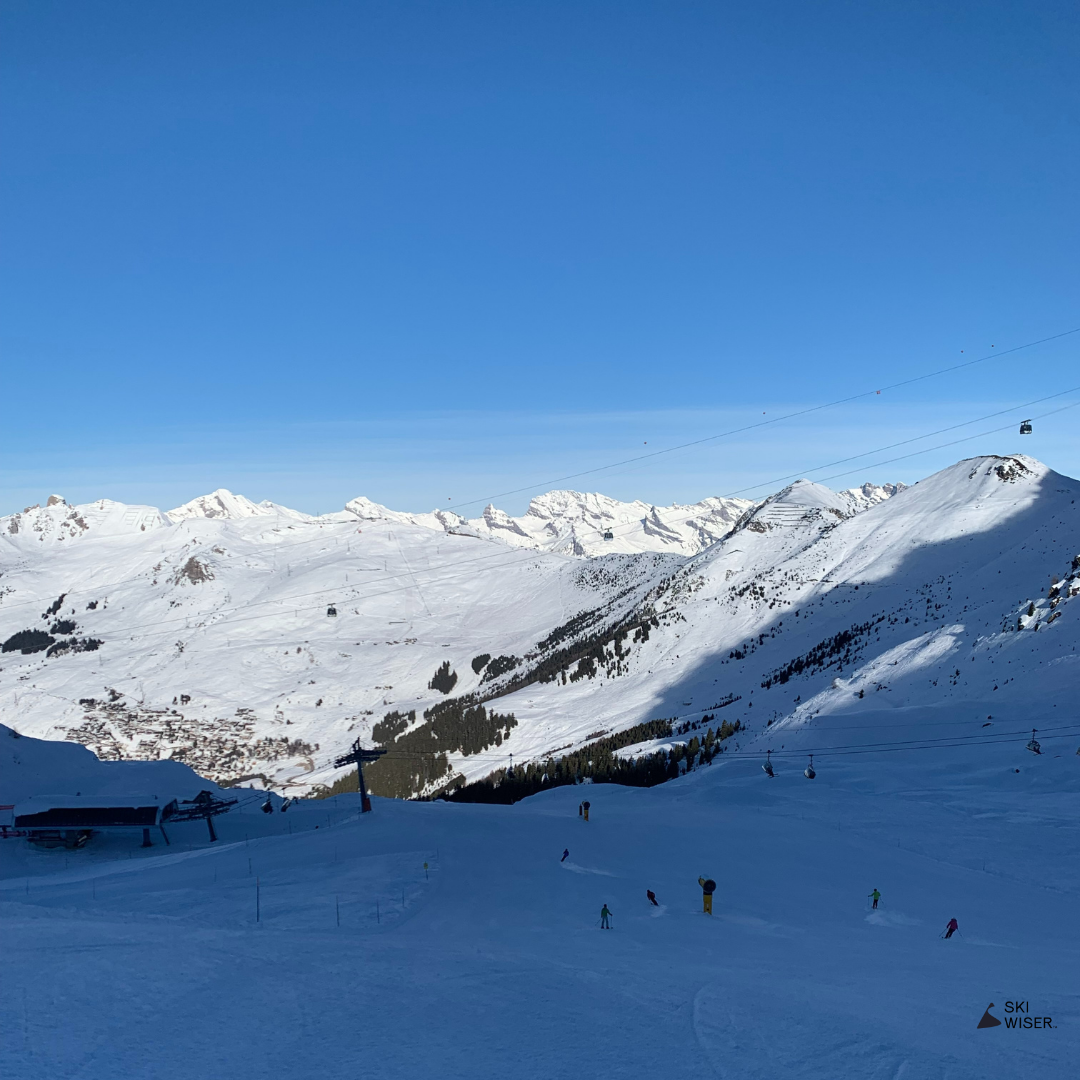
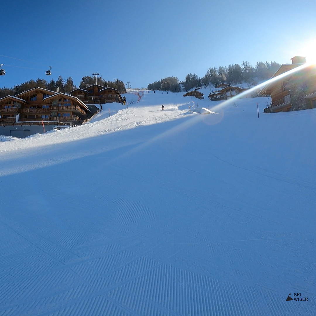
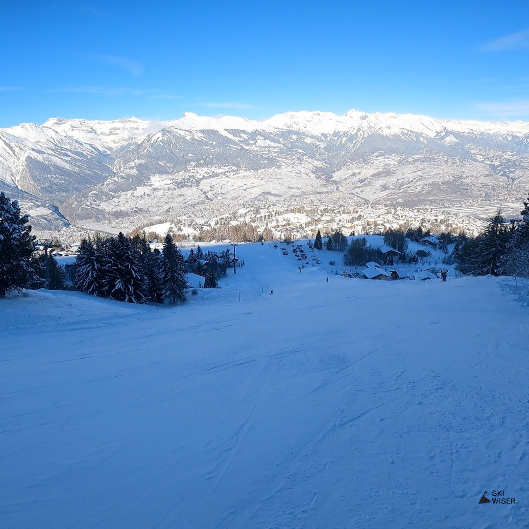
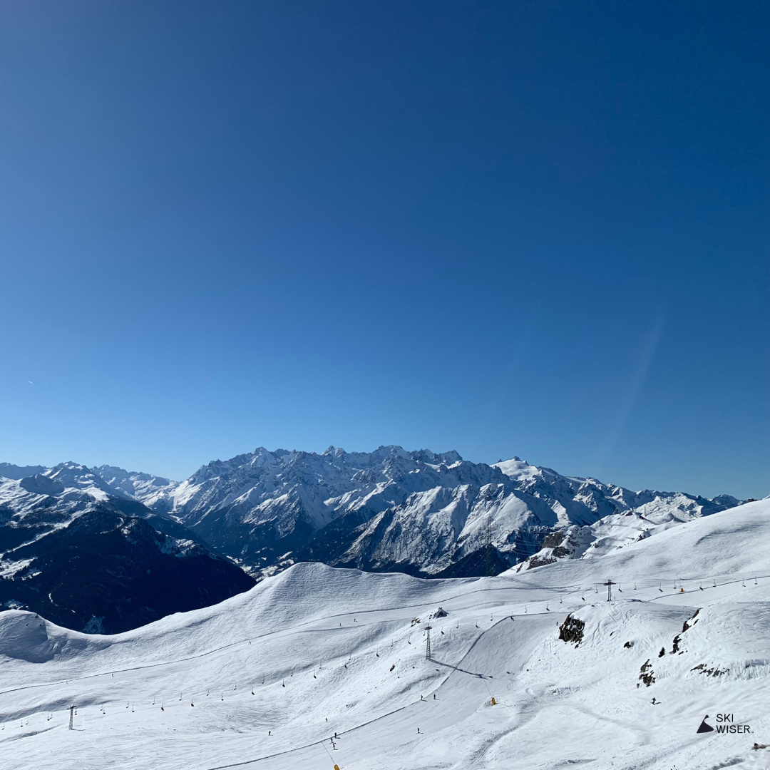
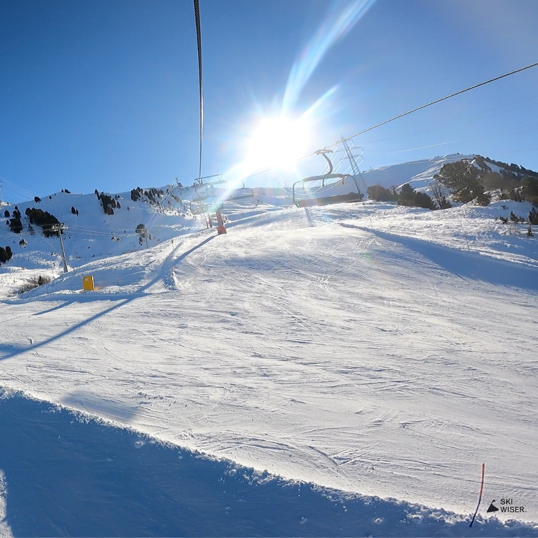
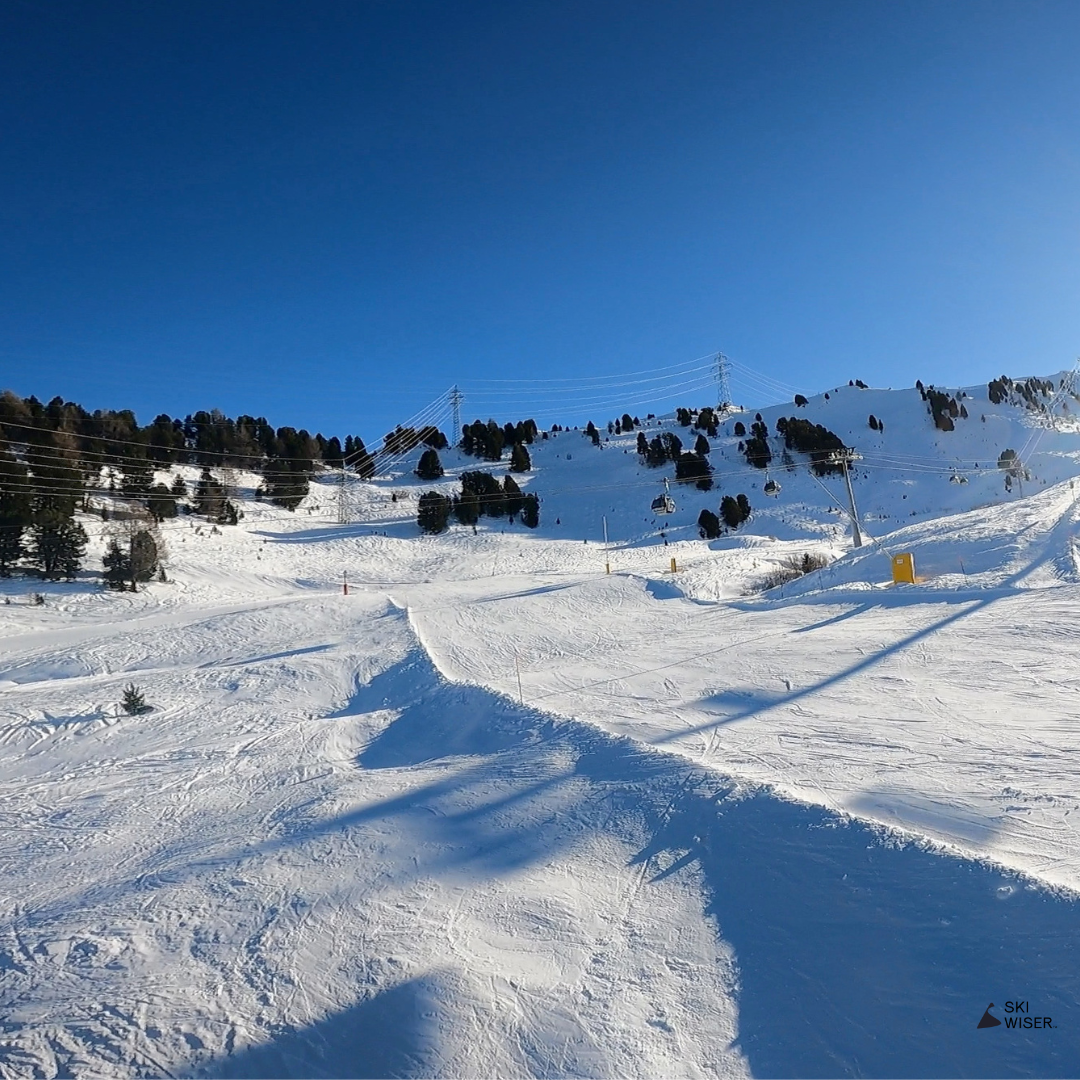
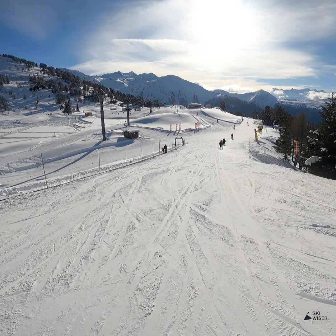
Verbier / Attelas
Nicknamed the ‘M25’, Attelas is a long but busy red run that connects Attelas with La Chaux and Les Ruinettes. It acts as the main route home in the afternoon which means it funnels skiers of all abilities onto a single piste. Watch out for the odd idiot who likes to tear down a busy slope out of control! It’s a fun carving run in the early morning when it’s not as busy.
If you need a drink after the stress of Attelas, pop via Ice Cube at Les Ruinettes which has a second to none view over Verbier and catches the sun all afternoon.
Mini Map
Veysonnaz / TSA
This red has two routes which go in opposite directions. The first leads on from Les Chottes in Greppon Blanc down to the Drus button lift above Veysonnaz. In reverse, it turns left off Les Crêtes in Thon and heads back towards Greppon Blanc.
It’s a collection of wide pistes, forest and high mountain paths to help you get across from one valley to another. But it’s a fun run to do even if you’re not heading anywhere in particular with only a couple of short steep sections.
Mini Map


Thyon / Theytaz 2
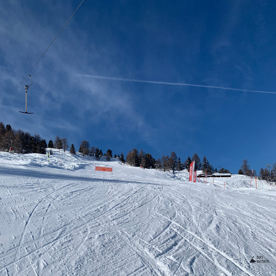
Similar to the Muraz red, Theytaz brings some nice carving lines as well as access to the snow park if you want to practise your freestyle. On clear days you also get to ski towards the incredible view across the Thyon valley.
Like many of the runs it requires another trip up a button lift.
Mini Map

Thyon / Muraz
If you’re looking for a step up from the easy blues, Muraz is a brilliant carving run which comes down adjacent to Etherolla. The piste is wide but not too steep, meaning that intermediate skiers can enjoy some long turns without accelerating too fast.
It’s another slow button lift ride up, but ultimately worth it for the descent.
Mini Map
Thyon / Matze
This is a good stepping stone between the easy blues around Thyon and the more difficult reds higher up such as Muraz or Theytaz 2. The run peels off JOC to head down to the right of Thyon, offering up some amazing views before you hit the trees.
Possibly the best bit about this run is the lunch spot at the bottom. The La Cambuse hotel has a perfect outside deck which acts as a nice suntrap and delivers some spectacular views on a clear day.
Mini Map
Veysonnaz / Les Mayens

This is an enjoyable long red down to Veysonnaz that has a variety of skiing. Wide carving piste, steep sections, tree cover and lots of sun. Being a little out of the way it’s not an obvious run to come across if you’re not staying in the area, but it’s definitely worthwhile doing.
If you’re coming from Siviez, you can connect onto the run directly from the short forest itinerary path next to the Drus button lift. Otherwise it starts at the top of the Veysonnaz gondola.
You can treat yourself to a number of drink stops both en route down the mountain and at the bottom of the run.
Mini Map
Thyon / Les Masses
This practical red is a skier’s route home if you’re staying in the area as well as the run down to the Les Masses chair. Make sure to turn right at the fork after the Etherolla chair rather than take the blue Trabanta left which ends higher up the mountain.
Mini Map
Veysonnaz / Itinerary
Whilst this is marked as a yellow itinerary, it’s really an intermediate’s route which helps you get to Veysonnaz directly instead of taking the Drus button lift. It comes out half way up Les Mayens.
Mini Map
Nendaz / Tracouet Bas de Piste
La Nationale ends where Tracouet Bas de Piste begins. This red run intertwines with the easier blue as you head down mountain. It offers a higher gradient for slightly more advanced skiing than Variante Pracondu and a more direct route down to Nendaz.
Like the second half of L’Alpage, the run spends much of the day in the shade, making it a colder place to ski than the other side of Nendaz.
Mini Map

Siviez / Plan du Fou

Even if you don’t head all the way over towards Prarion or Siviez, Plan du Fou is worth experiencing. It’s a long meandering red which combines carving, moguls and tree skiing all in one run. It’s also fun in powder when there’s fresh snow.
The gradient isn’t too steep on this one and the moguls aren’t gigantic so most intermediate skiers should be fine getting down. It can become quite busy as it’s a connecting run from Nendaz to the rest of the 4 Vallees.
The Plan du Fou self service restaurant at the top is a handy spot for a cheaper lunch or coffee break.
Mini Map

Siviez / Les Chottes
Coming off Greppon Blanc Partie Inférieure, Les Chottes is a low gradient red which steers around to the right towards Veysonnaz. However, you can stay straight and head down past Les Chottes restaurant to the t-bar to experience a relaxed red, which is great for wide carving turns.
There’s also a path which crosses the t-bar line and can be used to head back across the mountain towards Siviez.
The Les Chottes restaurant and self-service provides a cheaper alternative for lunch than many of the other mountain restaurants in the 4 vallées.
Mini Map

Siviez / La Meina
La Meina peels off right from Greppon Blanc Partie Inférieure to provide a quiet red heading further down the mountain. Most skiers will often come down Les Chottes from the other direction as they head back towards Siviez, with few taking this route making it a great one to escape the crowds.
Mini Map
Savoleyres / Tournelle


As you look up the south face of Savoleyres, there are a couple of short reds which are often less busy than many of the other runs in the area. Whilst many choose to hit the powder just on the side of the piste, the run itself is another carving opportunity on a variety of gradients.
Tournelle combines well with Saxon on the other side after you take the chair back up.
Mini Map
Savoleyres / Taillay
Tailley covers a wide area across the left hand side of the back of Savoleyres as you look up the mountain. It’s filled with a couple of blue routes as well as a luge path down to La Tzoumaz.
The runs are not difficult and perfect to warm up on when you start your day at the top of Savoleyres. They also provide helpful tree cover lower down if the weather isn’t great.
It’s a popular area which off-piste skiers like to discover when there’s fresh powder. As always, we’d recommend you do this with a guide and take all the standard safety equipment with you.
Mini Map

Savoleyres / Sud

Whilst you can get the gondola down to the bottom Savolyres station, Sud is a far more enjoyable option. This wide piste is great to carve down, but when it’s snowed it can become a little bumpier and more suited to short turns.
You can do this run again via the button lift back up or continue down the mountain towards Carrefour and Les Esserts.
Mini Map
Savoleyres / Saxon
It can often be partly closed off for race training, but the run is a magnet for those who want to let rip down the mountain. The top part gets more of the sun than the bottom, which can be icy, but it’s a superb carving route when freshly groomed.
Getting to the top of Saxon is a little confusing as you have to go down to the Tournelle chair on the south side to get up to the start.
Mini Map
Savoleyres / Planards
A slightly steeper and more direct route down the southside of Savoleyres compared with the Croix de Coeur-Planards blue. The often softer snow means that it’s easier to get an edge in and carve up the piste in style.
Mini Map
Savoleyres / Etablons
Many of the runs coming down Savolyres eventually join onto Etablons which takes skiers down to the gondola at La Tzoumaz.
It’s a fairly wide red through the trees meaning that you can enjoy some long carving turns even in poor visibility. On a good day you get a couple of awesome viewpoints over the Sion valley.
Mini Map

Savoleyres / Combe du Nord

A gentle undulating red on the north side of Savoleyres which can be accomplished by any intermediate skier. It’s a fun carving run when it’s not too busy, but can be icy owing to the lack of sun.
It’s an easy one to do again and again from the short and quick Nord chairlift which takes you back to the top of Savoleyres. But if you’re in need of a chocolat chaud or a bite to eat then you can take a break at Chez Simon.
Mini Map
Savoleyres / Coeur Supérieur
Starting from the top of Savoleyres, the superieur section of the run is a fun carving piste with some steep parts, so it’s a great option for a range of skiers. It can be skied all day, but is best first thing in the morning after it’s been freshly groomed for a smooth feeling through the skis.
The second part dog legs left and heads across the mountain through the trees to the bottom of Saxon, offering a little variety to the experience.
Mini Map
Savoleyres / Coeur Inférieur
Whilst Coeur Supérieur is one of our favourite runs in Savoleyres, the inférieur section is not quite as impressionable. It takes skiers back into the tree line and connects to Etablons near the bottom of the slopes.
Mini Map
Nendaz / Tracouet - Prarion
The snow conditions can often be hard packed at the top but become slushy as you get lower down owing to the amount of time it spends in the sun. It’s quite steep in places and can become busy in the afternoon as skiers make their way back towards Siviez and Verbier.
A fun run to do with a couple of well positioned mountain huts to stop-off at en route, but the slow chair up from Prarion means that we often only complete this one at the end of the day.
Mini Map

Nendaz / La Nationale
This run has it all. It starts with a high altitude path offering amazing views down across Nendaz and Sion, before opening up into an undulating red through the trees.
A slightly more challenging and interesting option to L’alpage, which it eventually connects to. Would recommend it to any intermediate skier.
Mini Map
Nendaz / L'Alpage
L’Alpage is the main blue which runs from the top of Nendaz and is continued by Variante Pracondu. It’s super wide at the top, providing acres of space to enjoy some larger carving turns without picking up too much pace. It’s also in the tree line so it can still be attempted in poor visibility.
Whilst it can be a popular run, the best time to do it is around midday. That way you can expect to get some sun on the piste.
Mini Map
Nendaz / Grand Jean-Pierre
The advantage of Grand Jean-Pierre compared with the runs on the other side of Nendaz is that it gets more sun, making the snow softer and the temperature warmer. The downside is that it’s often closed after Petit Jean-Pierre, meaning you have to take the button lift back to the top.
Mini Map
Siviez / Gentianes (Teleski)
It’s likely you’ll only ski this to get to the Gentianes itinerary. Skiers coming down from Mont Fort have to get the button lift to get back up to the top of Col des Gentianes. This enables you to ski back to Verbier.
Mini Map
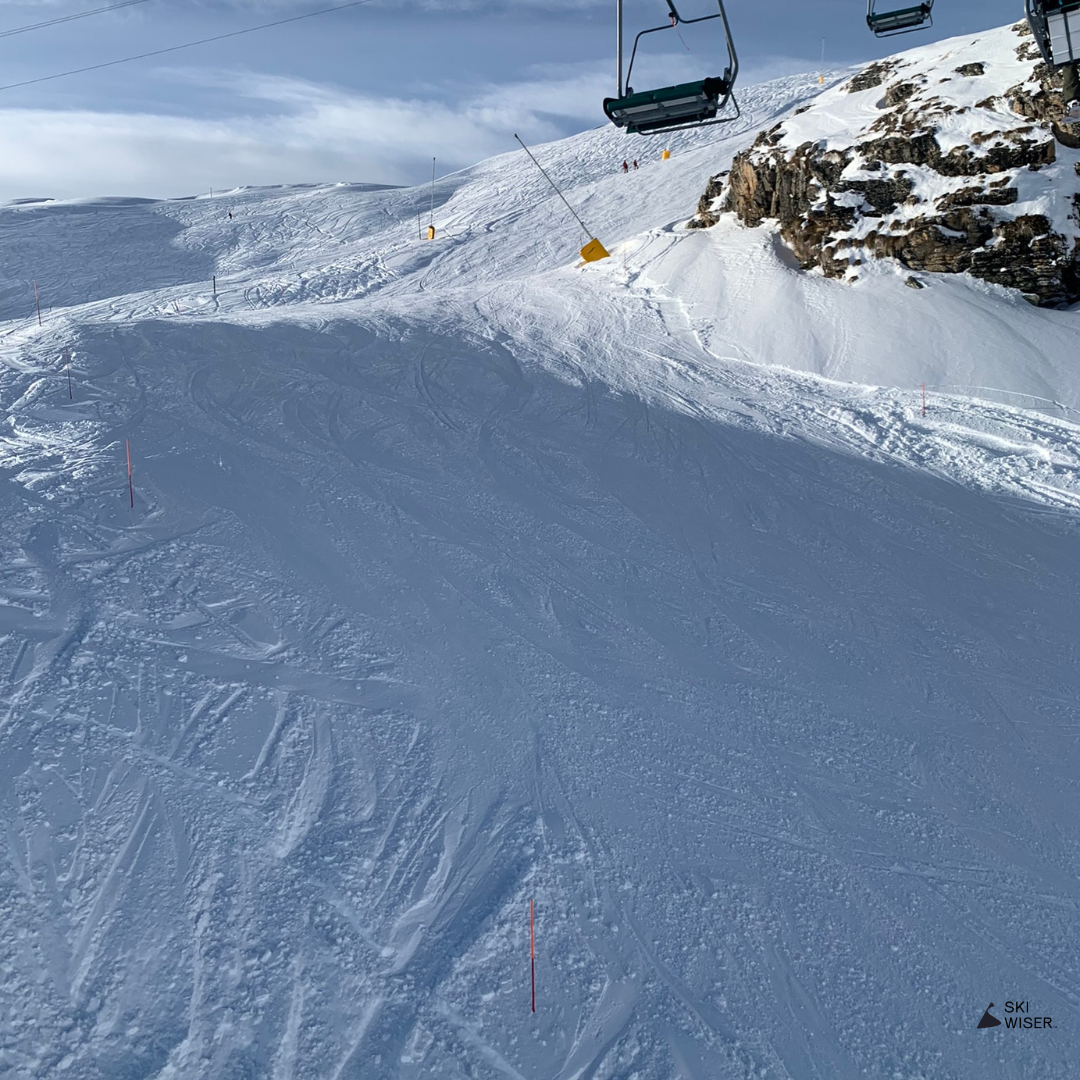
Verbier / Gentianes (Red)
If you don’t fancy the Gentianes-Tortin itinerary down to Siviez, skiers can take this red run to La Chaux. Whilst it’s a bit steep in places, there’s an easier path cut into the mountain which avoids the hardest bits. A great carving run, albeit the snow is usually quite hard packed.
Mini Map
A pretty itinerary in Bruson which takes skiers through the trees on the right of the slope. Despite being an itinerary, it’s not a difficult run, but it can get a little hard packed and bumpy in periods of less snow. Great fun in powder.
Mini Map


Bruson / Sur le Six
A couple of short reds right at the top of Bruson, which offers some amazing views back across the valley towards Verbier.
You often see skiers take a touring route off to the right of the slope for off piste lines a little further around the mountain. Great carving runs which are often quieter than Pasay on the other side of the slope.
Mini Map
Bruson / Pissevache
Sur le Six leads to the longer Pissevache red which takes you through the trees almost to the bottom of Pasay. Another brilliant carving run which is normally quieter than Pasay, being hidden away in the forest and away from chairlifts. Steep in parts but not too challenging.
Mini Map

Bruson / Pasay (Red)
A short red to the left of the black Pasay run as you look down mountain. Nothing super impressive but it helpfully leads to the Les Otanes itinerary.
Mini Map

Bruson / Moneyeu
For less experienced skiers, Moneyeu offers an easier route down the mountain with the options to turn off onto Pissevache and Pasay. Another pretty tree run, but with a gentler gradient and narrower path compared to Pissevache. It goes all the way from the top of Grand Tsai, back to Pasay and down to La Cot.
Mini Map
Bruson / Moay

Most skiers will use this red to get them from the top of the Le Châble gondola to the bottom of the Pasay chair. You can return to the top of Moay to access the gondola back down or ski lower via Moneyeu and get a short button lift called La Cot up to the top. Another good warm up run to help you find your ski legs.
Mini Map

Bruson / Grand-Tsai

Two red runs on the backside of Bruson, both which end up at the bottom of the Grand Tsai button lift. Whilst not the most exciting runs on the slope, they’re great warm up runs before tackling Pasay or Les Otanes. It also provides access to the longer and more interesting Pissevache and Sur Le Six red runs.
Mini Map